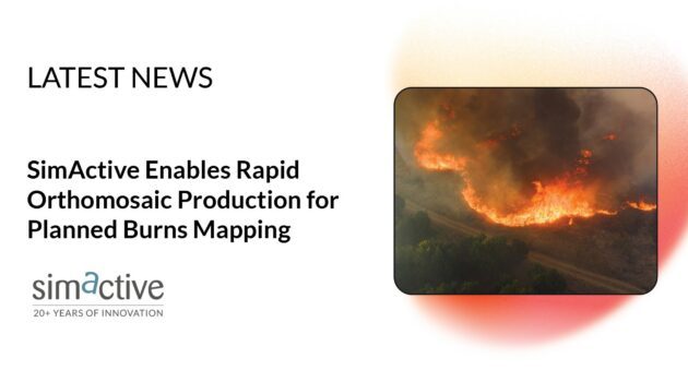
The Australian geospatial firm is using Correlator3D to generate orthomosaics from aerial imagery captured for wildfire prevention and land management projects.
SimActive has announced that Landair Surveys is using its Correlator3D software to produce orthomosaics for planned burns mapping projects in Australia. The Montreal-based developer said the workflow is intended to deliver geospatial outputs within the operational timelines required for wildfire prevention and land management.
SimActive previously added distributed processing to Correlator3D for large mapping jobs, Dronelife reported in January.
Planned Burns Mapping Workflow
Planned burns are conducted to reduce fuel loads and limit wildfire risk. Burn sites are typically available for capture only within narrow weather and fuel windows, which sets the timing for the supporting imagery.
Landair Surveys’ published case study describes a statewide planned burns photography program for the Victorian Department of Transport and Planning, covering sites in the Gippsland and Barwon South West regions. According to the case study, imagery is acquired within four weeks of a site becoming ready and delivered within three weeks of capture, at a Ground Sample Distance of 20 cm (about 7.9 in) or better. Deliverables include four-band RGBI orthophoto tiles in TIFF, overview mosaics in ECW, and metadata in ESRI shapefile format. The captures support mapping of fire severity and burn extent across remote and mountainous terrain.
“Rapid ortho production has become increasingly important for operational mapping projects,” said Erik Birzulis, CEO at Landair Surveys. “Using Correlator3D allows us to deliver accurate orthomosaics quickly enough to support planned burns and wildfire prevention efforts.”
About the Software
Correlator3D is a patented end-to-end photogrammetry platform that performs aerial triangulation and produces digital surface models, digital terrain models, point clouds, orthomosaics, 3D models, and vectorized 3D features. The software processes imagery from satellites, crewed aircraft, and drones, and uses GPU and multi-core CPU acceleration for large datasets. SimActive offers Correlator3D to a range of mapping firms and government organizations.
Landair Surveys is an Australian geospatial services company that provides aerial surveying, photogrammetry, lidar, and spatial data services for infrastructure, environmental, and land management projects.
More information is available at SimActive and Landair Surveys.
Read More
-
As Disaster Risks Grow, WingXpand and Verizon Explore New Tools for Emergency Response
-
HOVERAir’s UK Launch Raises a Bigger Question: Who Will Serve America’s Consumer Drone Market?

Ian McNabb is a journalist focusing on drone technology and lifestyle content at Dronelife. He is based between Boston and NH and, when not writing, enjoys hiking and Boston area sports.


Leave a Reply