
As defense budgets rise and geopolitical tensions reshape operational priorities, militaries are investing heavily in technologies that can turn raw data into timely, actionable intelligence. For photogrammetry company SimActive, that mission has been central since its founding. In a recent interview with DRONELIFE, CEO Dr. Philippe Simard discussed how the … [Read more...] about Rapid Mapping for a 24/7 Defense Environment: SimActive on Speed, Security, and Scalable Intelligence
SimActive
SimActive Integrates Phase One iXM-FS130 for High-Resolution Aerial Mapping
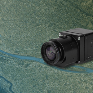
Correlator3D enables sub-centimeter processing for fixed-wing survey missions SimActive has announced full support for the Phase One iXM-FS130 sensor in its Correlator3D platform. The integration allows mapping professionals to process sub-centimeter aerial imagery efficiently while maintaining speed and accuracy. The company made the announcement on February 19, 2026. … [Read more...] about SimActive Integrates Phase One iXM-FS130 for High-Resolution Aerial Mapping
SimActive Expands Mapping Capacity With Distributed Processing in Correlator3D

New capability supports faster turnaround for large and time-sensitive photogrammetry projects SimActive has announced new distributed processing capabilities in its Correlator3D™ photogrammetry software. The update allows mapping workflows to run across multiple computers or virtual machines instead of relying on a single system. The goal is to help organizations process … [Read more...] about SimActive Expands Mapping Capacity With Distributed Processing in Correlator3D
Drone Mapping in 2026: What’s Driving the Next Era
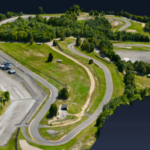
For more than two decades, SimActive has been a constant presence in the evolution of drone mapping. Long before drones became commonplace in defense, surveying, or emergency response, the company was pushing the boundaries of photogrammetry for military clients with what is now known as Correlator3D, its flagship software platform. Today, as the drone industry accelerates … [Read more...] about Drone Mapping in 2026: What’s Driving the Next Era
Managing Large Photogrammetry Projects Simultaneously: Can It Be Done?

How scalable workflows, automation, and distributed processing make managing large photogrammetry projects possible. DRONELIFE spoke with Philippe Simard, co-founder and CEO of SimActive, the Canadian company behind the Correlator3D photogrammetry suite, to explore one of the most pressing challenges in the aerial mapping industry: how to efficiently manage and process … [Read more...] about Managing Large Photogrammetry Projects Simultaneously: Can It Be Done?


