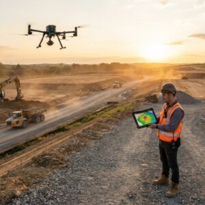
The release lets drone teams compare up to 10 surveys of a site over time, measure earthwork against design, check accuracy against their own ground control and plan security cameras on the 3D model. SkyeBrowse announced a new set of features on October 20, 2026 for its videogrammetry platform for rapid 3D and 2D mapping. The release centers on SkyeBrowse Timelines and a group … [Read more...] about SkyeBrowse Adds New Timelines Tools For Drone Surveys
DTM
Aerial Triangulation Gets Major Overhaul in SimActive’s Correlator3D Version 11.1

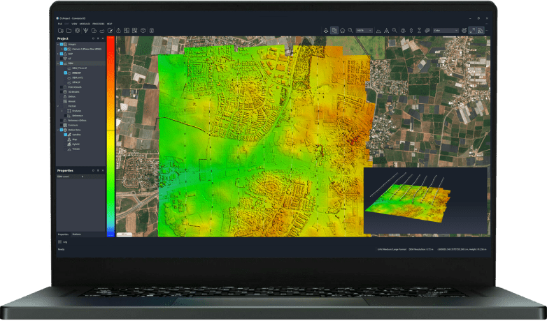
Montreal photogrammetry developer overhauls tie point extraction, bundle adjustment and multi-camera workflows in the latest Correlator3D release. SimActive has released Correlator3D Version 11.1, a photogrammetry update centered on a rebuilt aerial triangulation engine. The company says the release improves tie point extraction, accelerates bundle adjustment and adds tools to … [Read more...] about Aerial Triangulation Gets Major Overhaul in SimActive’s Correlator3D Version 11.1
Landair Surveys Uses SimActive Correlator3D for Planned Burns Mapping in Australia

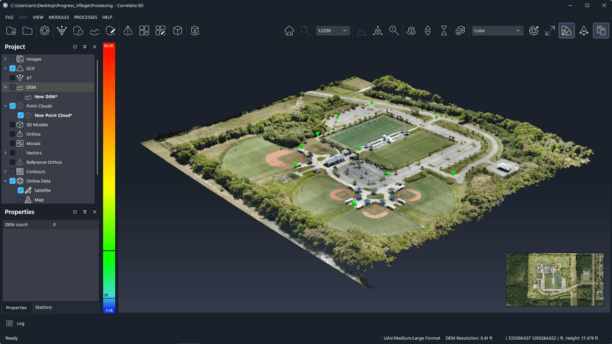
The Australian geospatial firm is using Correlator3D to generate orthomosaics from aerial imagery captured for wildfire prevention and land management projects. SimActive has announced that Landair Surveys is using its Correlator3D software to produce orthomosaics for planned burns mapping projects in Australia. The Montreal-based developer said the workflow is intended to … [Read more...] about Landair Surveys Uses SimActive Correlator3D for Planned Burns Mapping in Australia