
Geo4D used the photogrammetry platform to process high-resolution aerial imagery covering more than 100,000 hectares in Patagonia.
SimActive’s Correlator3D photogrammetry software has supported a large-scale mapping project for a green hydrogen development in southern Chile.
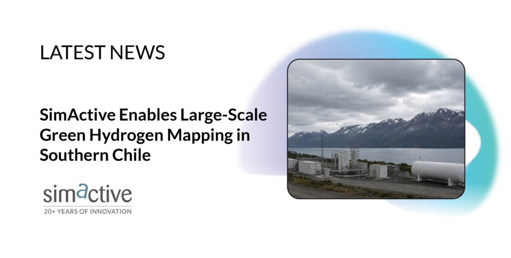
Chilean geospatial firm Geo4D used the software to process high-resolution aerial imagery covering more than 100,000 hectares. The work produced orthomosaics, digital terrain models and contour lines for engineering and planning.
The project took place in a remote area of Patagonia, where limited weather windows complicated aerial data collection. According to SimActive, Geo4D used Correlator3D to process Phase One imagery despite challenging image-matching conditions.
“Projects of this scale demand both efficient processing and dependable results,” said Francisco Ramos, CEO at Geo4D. “Correlator3D allowed us to process challenging imagery and confidently deliver the accurate mapping products our client required.”
Processing Large Aerial Mapping Projects
The Chile project highlights a key challenge in large-area aerial mapping: turning substantial volumes of high-resolution imagery into usable geospatial products.
Correlator3D provides an end-to-end photogrammetry workflow for imagery collected by drones, crewed aircraft and satellites. The software performs aerial triangulation and can generate digital surface models, terrain models, point clouds, orthomosaics and 3D models.
SimActive has also focused recent Correlator3D development on processing capacity and workflow efficiency. Earlier this year, DRONELIFE reported on distributed processing capabilities designed to divide photogrammetry workloads across multiple computers.
In July, SimActive released Correlator3D Version 11.1. The update included a rebuilt aerial triangulation engine, with changes to tie point extraction, bundle adjustment and multi-camera workflows.
Correlator3D supports high-resolution Phase One aerial imaging systems, with direct processing of Phase One IIQ files, including imagery from the company’s large-format aerial systems. For the Patagonia project, that processing capability helped Geo4D turn imagery collected under difficult field conditions into mapping products for a large energy development.
Geo4D provides aerial surveying, photogrammetry, LiDAR and engineering mapping services for infrastructure, mining, energy and environmental projects across Latin America.
SimActive, based in Montreal, develops Correlator3D for processing satellite and aerial imagery, including drone data.
Read more:
- Aerial Triangulation Gets Major Overhaul in SimActive’s Correlator3D Version 11.1
- Landair Surveys Uses SimActive Correlator3D for Planned Burns Mapping in Australia
- Gaussian Splatting Meets Photogrammetry: SimActive Integrates New Capability in Correlator3D

Miriam McNabb is the Editor-in-Chief of DRONELIFE and CEO of JobForDrones, a professional drone services marketplace, and a fascinated observer of the emerging drone industry and the regulatory environment for drones. Miriam has penned over 3,000 articles focused on the commercial drone space and is an international speaker and recognized figure in the industry. Miriam has a degree from the University of Chicago and over 20 years of experience in high tech sales and marketing for new technologies.
For drone industry consulting or writing, Email Miriam.
TWITTER:@spaldingbarker
Subscribe to DroneLife here.






Leave a Reply