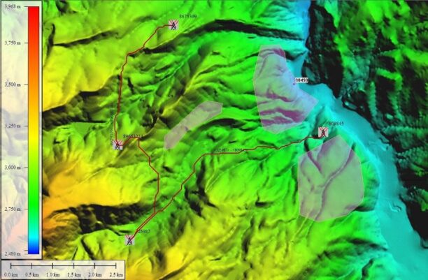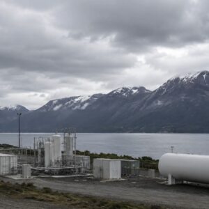
Geo4D used the photogrammetry platform to process high-resolution aerial imagery covering more than 100,000 hectares in Patagonia. SimActive’s Correlator3D photogrammetry software has supported a large-scale mapping project for a green hydrogen development in southern Chile. Chilean geospatial firm Geo4D used the software to process high-resolution aerial imagery covering … [Read more...] about SimActive Correlator3D Supports Large-Scale Green Hydrogen Mapping in Chile
- Skip to main content
- Skip to secondary menu
- Skip to primary sidebar
- Skip to secondary sidebar
- Skip to footer

DRONELIFE
Stay up to date on all the latest Drone News