
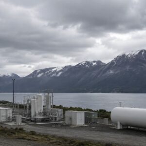
Geo4D used the photogrammetry platform to process high-resolution aerial imagery covering more than 100,000 hectares in Patagonia. SimActive’s Correlator3D photogrammetry software has supported a large-scale mapping project for a green hydrogen development in southern Chile. Chilean geospatial firm Geo4D used the software to process high-resolution aerial imagery covering … [Read more...] about SimActive Correlator3D Supports Large-Scale Green Hydrogen Mapping in Chile
Chile
Heigh-Ho, Heigh-Ho, Its Off to Work They Go
The unique point-of-views and highly advanced imaging services a drone can provide make UAVs an ideal match for the mining industry. But, instead of buying the drones themselves, mining companies typically contract other companies to operate drones and collect the necessary data. There is no clear-cut reasoning for this, but perhaps it is due to the sensitive nature of this new … [Read more...] about Heigh-Ho, Heigh-Ho, Its Off to Work They Go





