The following piece is reprinted with permission from Ancient-Origins. Originally published on September, 26, 2019 and written by Alicia McDermott.
Drones are becoming ever more present tools for archaeologists looking to add to their survey and excavation toolkits. They’ve been used to get some great aerial views of archaeological sites and features and sometimes even to discover them! And researchers have now teamed up high-res drone pictures with some nifty machine learning to detect one of an archaeologist’s go to first finds – potsherds!
Fieldwalking and Aerial Photographs
Most archaeologists have had the pleasure of fieldwalking, aka ‘pedestrian surveying’ at some point in their career. This is a survey technique employed by a group of archaeologists, or archaeology students, who head out as a team to walk across a large area of open land they think may be of archaeological interest. Usually the land of choice for this survey method is a recently plowed farmer’s field , best if it’s rained not too long ago.
The team spreads out in a methodical grid-like manner, usually parallel lines of a set distance apart, to see if they can find any archaeological material that has been pushed to the surface – often that means pottery fragments ( potsherds). Flint tools and other artifacts are also found sometimes with this method.
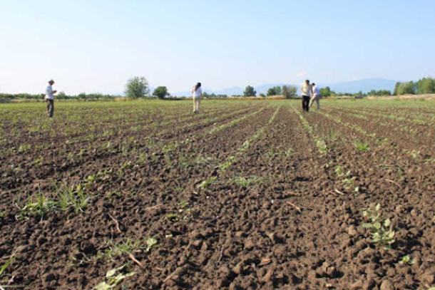
A team conducting a pedestrian archaeological survey aka “fieldwalking.” (Anna Karligioti)
It’s notoriously long, hard, and sometimes tedious work, but fieldwalking has been a traditional practice since archaeology’s early days as a discipline.
Simplifying the Detection of Potsherds and More!
But new research published in the Journal of Archaeological Science suggests there may be a better way.
Dr. Hector A. Orengo of the Catalan Institute of Classical Archaeology and Dr. Arnau Garcia-Molsosa of the McDonald Institute for Archaeological Research at the University of Cambridge think they may have the answer to the fieldwalking headache, or at least the beginning of a solution. A University of Cambridge press release states that the researchers aim “to alleviate labor-intensive archaeological field surveying by combining machine learning and high-resolution drone imagery.”
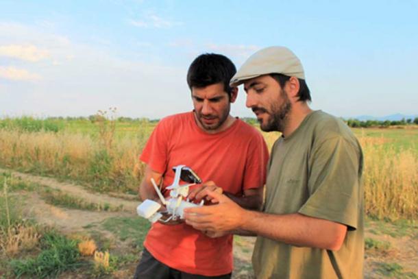
Dr. Arnau Garcia-Molsosa and Dr. Hector A. Orengo watching the drone. (Anna Karligioti)
What they have tested out is a new archaeological survey method – flying a pre-programmed drone over the area of interest and taking overlapping pictures. The images are then joined together to create what they call “a single very large high-resolution image.”
You may be wondering why they started with potsherds – which are essentially busted up pieces of ceramic. Orengo provides this explanation:
“The distribution of potsherds is a good indication of the intensity of human occupation and the location of archaeological sites, but traditional survey methods can be quite costly and labor-intensive. Some of our projects in the Mediterranean involved the collection and recording of large quantities of pottery, but a single relatively small site could take our 6-people team three days to record! Automated survey was something we used to fantasize about while in the field.”
Garcia-Molsosa continues the idea:
“Under ideal circumstances this method is more accurate and faster than standard survey approaches. This is a complementary method to traditional pedestrian survey and has the potential to transform the way landscape survey is done. The automated recording of surface material culture has enormous possibilities to contribute to a wide array of projects working on academic research and heritage management. We hope that this technique can be employed, adapted and improved by other teams so we can understand better its potential application.”
This new method may be an interesting alternative to three days of walking across open fields, which is certainly time-consuming and often a costly matter (people are sometimes paid for the task and at least they need food and shelter if they’ll be trekking the fields for a few days).

‘The Lonesome Archaeologist’ Fieldwalking in 2014. (Paul Wood/ CC BY SA 2.0 )
Possibilities and Limitations
However, it is not perfect and the researchers also realize that there are some limitations to the method as it stands right now.
For example, they found the algorithm may provide false positives if the settings are more stringent and incorrectly suggest that modern brick fragments are pottery. Or, conversely, less strict settings could mean the algorithm misses some of the potsherds. Thankfully, this type of technical issue could probably be ironed out in the future. But until that happens, there is the question of how much time may really be saved – people still need to check the algorithms work and possibly go out and find and then pick up the potsherds by hand.

Upper image showing a drone-acquired image of the ground. Lower image showing the sherds detected by the machine learning algorithm. (Arnau Garcia-Molsosa and Hector A. Orengo)
A much larger limitation is that the method is currently still restricted to the same conditions as traditional fieldwalking – flat, plowed soils that are vegetation-free. However, the researchers say they “are now working on developing drone technologies that can better adapt to irregular terrain, avoid trees, and other barriers and extend the drone flight times that are currently available.” Now that could be a more useful surveying tool, but still means restrictions to land that is relatively plant-free.
Orengo and Garcia-Molsosa state they are also working on creating “new artificial intelligence-based methods to improve the algorithm detection ratio and extend its identification abilities to other types of material culture, such as lithics and metal.” This would be a nice addition to the current focus on potsherds.
Another cause of concern is how viable this method will be in the future. Drones are still relatively new technology, but legislation is changing and restrictions on drone usage are emerging. If too much red tape is added, it may be easier for archaeologists to just stick with the old ways than wait for permission to use their aerial tools.
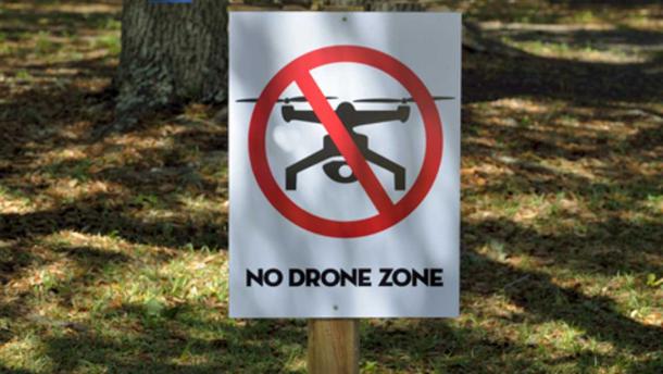
Drones may not be permitted in some areas of archaeological interest. ( CC0)
But in the end the researchers still see their drone-machine learning set up as a complementary method to the good old-fashioned ways of or archaeological forebears – fieldwalking. It seems that even while archaeology is taking technological steps into the future with drones and scans, there is still one foot in the past and keeping some (useful) traditions alive.
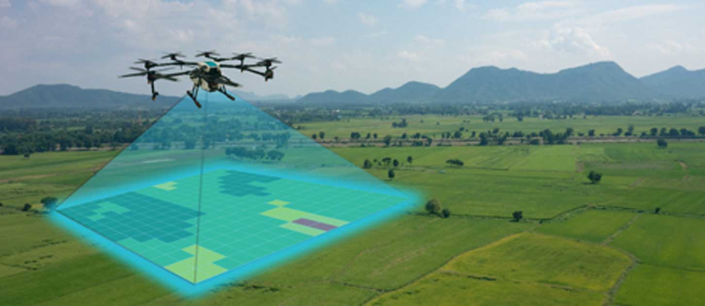
Top Image:


[…] Ciertos sitios arqueológicos están en sitios peligrosos que tienen la posibilidad de poner arqueólogos bajo riesgo. A través de la utilización de automóviles aéreos no tripulados y otros géneros de […]