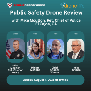
Join us Tuesday, August 4 at 3 p.m. ET for the next edition of the Public Safety Drone Review, presented by DRONELIFE and DRONERESPONDERS. Register here for the free webcast. Hosted by DRONELIFE Editor in Chief Miriam McNabb, DRONERESPONDERS Director Charles Werner, and public safety aviation expert Mike O'Shea, the monthly livestream brings together leaders from across the … [Read more...] about Don’t Miss Mike Moulton on the Public Safety Drone Review, August 4
Fire and Police
Federal Agencies Move Quickly to Turn SAFER SKIES Act Into Operational Reality
New DOJ/DHS rule and coordinated FCC actions establish the legal, technical, and spectrum framework for trained state and local agencies to deploy counter-drone systems The federal government's expansion of state and local counter-drone authority took a major step forward this week as the Department of Homeland Security (DHS), Department of Justice (DOJ), and Federal … [Read more...] about Federal Agencies Move Quickly to Turn SAFER SKIES Act Into Operational Reality
Don’t Miss AirWise Solutions on the Public Safety Drone Review, July 7!
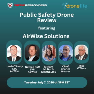
Join us Tuesday, July 7 at 3pm EST for the next edition of the Public Safety Drone Review, presented by DRONELIFE and DRONERESPONDERS.. Register here for the free webcast: Public Safety Drone Review Registration Hosted by DRONELIFE Editor in Chief Miriam McNabb, DRONERESPONDERS Director Charles Werner, and public safety aviation expert Mike O’Shea, the … [Read more...] about Don’t Miss AirWise Solutions on the Public Safety Drone Review, July 7!
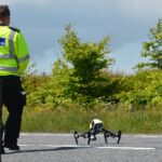
Conroe Police Launch DFR Program Funded by Criminal Asset Seizures
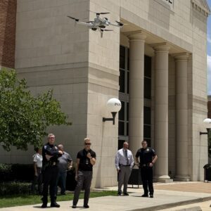
City’s DFR program financed by asset forfeiture funds By DRONELIFE Features Editor Jim Magill Images: Jim Magill When the city of Conroe, Texas was considering establishing a Drones as First Responders (DFR) program, cost was a major issue. The city’s leaders solved that problem by arranging to have the bad guys pay for the program. In a recent press conference announcing … [Read more...] about Conroe Police Launch DFR Program Funded by Criminal Asset Seizures
IACLEA Launches National Campus Drone Program with Draganfly

New initiative offers colleges a framework for building compliant drone programs focused on public safety, training, and governance The International Association of Campus Law Enforcement Administrators (IACLEA) has launched a new national program designed to help colleges and universities establish drone programs for campus public safety. The association has selected … [Read more...] about IACLEA Launches National Campus Drone Program with Draganfly


