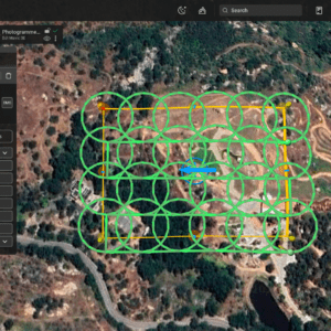
New tool promises faster, more accurate 3D models with shorter flight times SPH Engineering has introduced Circlegrammetry, a new photogrammetry tool that could change how drone operators capture data for 3D modeling and mapping. Designed in response to challenges faced by drone pilots, Circlegrammetry aims to improve the accuracy, speed, and efficiency of aerial mapping … [Read more...] about SPH Engineering Unveils Circlegrammetry: A New Approach to Drone Photogrammetry
3d mapping
Quantum Systems and Propeller Aero: Trinity F90+ Drone Compatible with 3D Mapping Software
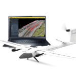
Quantum-Systems Partners with Propeller Aero: Trinity F90+ Drone and Propeller Aero's 3D Mapping Software by DRONELIFE Staff Writer Ian M Crosby Trimble [NASDAQ:TRMB] is one of the holdings in the AdvisorShares Drone Technology ETF [NYSE ARCA:UAV], the only ETF dedicated to the drone economy. The AdvisorShares Drone Technology ETF is a thematic investment strategy seeking … [Read more...] about Quantum Systems and Propeller Aero: Trinity F90+ Drone Compatible with 3D Mapping Software
SimActive Expands its Partner Network for Medium Format Camera Solutions
SimActive Inc., recently announces the expansion of its network of resellers for medium format licenses. The new strategic alliances allow them to address the growing market need for processing imagery from medium format sensors. Partners include firms such as LiDARUSA, who offers SimActive’s Correlator3D™ to complement Phase One cameras. This announcement follows a recent … [Read more...] about SimActive Expands its Partner Network for Medium Format Camera Solutions
Mapping from a Drone vs. Mapping from Manned Aircraft or Satellite Data: The Difference is Getting Smaller All the Time with SimActive
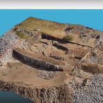
Creating 3D models and maps from aerial footage isn't a new idea. Sophisticated, survey grade models from satellite and aircraft images have been used for large scale environmental surveys, construction projects, and other applications. That functionality is incredibly valuable - and until recently, reserved for government and large industry due to the expense. Drones, … [Read more...] about Mapping from a Drone vs. Mapping from Manned Aircraft or Satellite Data: The Difference is Getting Smaller All the Time with SimActive
Wingtra’s New Drone Sets Benchmark in Precision Mapping
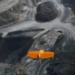
Swiss drone manufacturer Wingtra this week announced the launch of the WingtraOne PPK (Post-Processed Kinematics) model. Working with photogrammetry software provider Pix4D and PPK provider Septentrio, the company says it can now provide orthomosaics mapping and 3D models “with an absolute accuracy down to .4 inches.” Several industry sectors – mining, construction, … [Read more...] about Wingtra’s New Drone Sets Benchmark in Precision Mapping


