Drone racing – the kind with FPV goggles and exotic locations – has taken the world by storm, with crowds gathering to watch drones whizz around obstacle courses at top speeds and prizes topping $250,000.
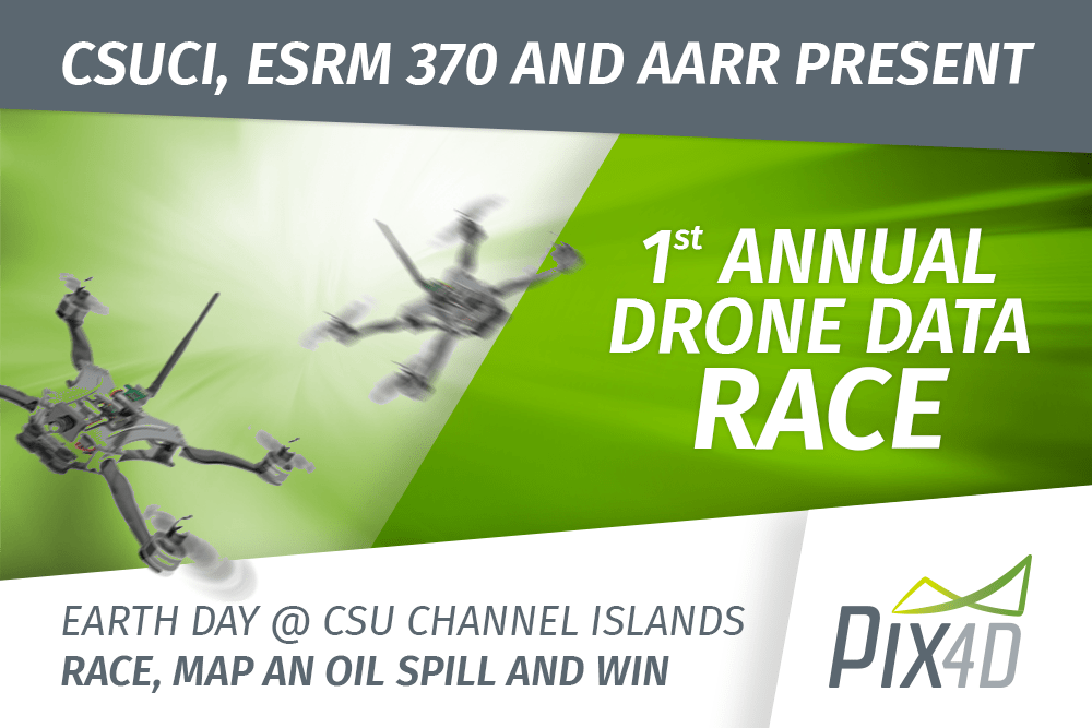
This year, Pix4D will sponsor the first annual Drone Data Race in Camarillo, CA. Call it the first “real drone race,” or maybe “drone racing for professionals.” This Saturday, April 22, the Aerial and Aquatic Robot Research group (AARR) of the California State University Channel Islands will host the Drone Data Race.
“On top of all the adrenaline speeding around turns and crossing the finish line as quickly as possible -as in traditional drone races- Drone Data Racers’ goal is to collect environmental data,” says the race announcement.
The race will involve two separate challenges, designed to imitate a real world scenario requiring fast and accurate data collection. During the “Barrel Race” challenge, racers will complete a 1.3 km course. Participants must compete for the fastest finish time while accurately estimating the number of faux “oil” drums encountered along the course.
During the Barrel Race, pilots will discover a mock oil spill – part of a series of potentially leaky barrels. The second challenge, the “Spill Interpretation”, calls on pilots to utilize Pix4D software. Racers will focus on mapping and producing a geospatial output, analyzing the fake spill.
“Fast and accurate data is critical to plan emergency response actions.
When it comes to initial response to environmental disasters, there is no need for powerful, research-grade drones,” says Pix4D. “Consumer drones can quickly collect valuable information and help first responders swiftly visualize the environment and assess the situation.”
“The goal of the event is to build awareness of the potential benefits of drone technology to ever-wider sectors of society and encourage drone hobbyists to become more proficient environmental data collectors.”
Winners will receive cash prizes and Pix4D Software licenses. Pix4D is a leader in commercial drone mapping and modeling solutions.
Pix4D is a frequent contributor to humanitarian efforts and educational events, providing teams and tools for disaster response work around the globe. Dr. Christoph Strecha, Pix4D’s founder and CEO, says that changing the community’s perception of drones, and empowering people with drone technology, is the responsibility of the industry. “It’s up to all of us in the industry to demonstrate what drone technology can do,” says Strecha. “It’s up to all of us to participate.”

Miriam McNabb is the Editor-in-Chief of DRONELIFE and CEO of JobForDrones, a professional drone services marketplace, and a fascinated observer of the emerging drone industry and the regulatory environment for drones. Miriam has penned over 3,000 articles focused on the commercial drone space and is an international speaker and recognized figure in the industry. Miriam has a degree from the University of Chicago and over 20 years of experience in high tech sales and marketing for new technologies.
For drone industry consulting or writing, Email Miriam.
TWITTER:@spaldingbarker
Subscribe to DroneLife here.


[…] Drone racing – the kind with FPV goggles and exotic locations – has taken the world by storm, with crowds gathering to watch drones whizz around obstacle courses at top speeds and prizes topping $250,000. This year, Pix4D will sponsor the first annual Drone Data Race in Camarillo, CA. Call it the first “real drone […] The post Get Ready – It’s the Drone Data Race! appeared first on DRONELIFE. See Original Article […]