Guest post by by Darr Gerscovich, SVP Marketing @DroneDeploy

Mike Winn, DroneDeploy
This past Friday at the Drones Data X Conference in San Francisco, Mike Winn, co-founder and CEO of DroneDeploy, announced in his keynote that our users had achieved a new industry milestone: 3,000,000 drone mapped acres across 120 countries.
Drones Are Transforming All Industries
Drones combined with software platforms for collecting and analyzing drone data have become powerful tools for industry. Unfortunately, not everyone has been exposed to the value drones unlock across industries, such as within agriculture, construction, mining, inspection, real estate, research and more. And this is why achieving 3,000,000 drone mapped acres is important. It signals to those that have been observing from the sidelines that:
- Businesses are seeing increasing value in drones across all industries
- Drones are not a United States trend, but a global phenomenon
- Drone adoption is accelerating, even in the absence of clear regulation
In other words, drones are not a passing fad but are here to stay. If you’ve been sitting on the sidelines it’s time to jump in, or risk being left behind by your competition. If you’re still not convinced, below are some of my favorite real-world examples of why you should pay attention to commercial drones.
Examples of Why Drones Are Taking Off
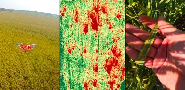
Drone mapping aiding Agriculture
- Converting a Skeptic with One Field Map
- Soil Sampling & Drone Mapping Combine to Deliver Better Prescriptions
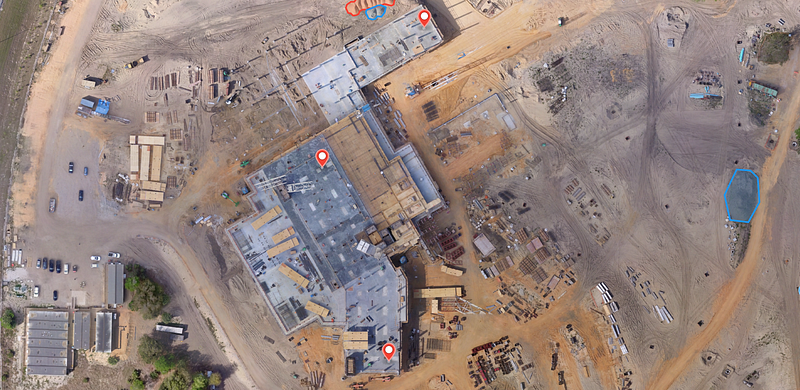
Drone mapping aiding Construction
- Drone Helps Verify Earthwork at Hospital Construction Site
- Drones Aid Communication and Collaboration on the Construction Site
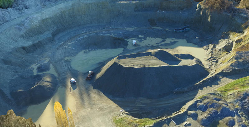
Drone mapping aiding Mining
Drone mapping aiding Inspection
Frank Schroth is editor in chief of DroneLife, the authoritative source for news and analysis on the drone industry: it’s people, products, trends, and events.
Email Frank
TWITTER:@fschroth