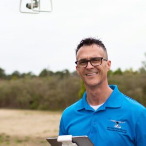
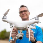
Michael Jones asks the court to uphold his right to provide aerial information to clients. Yesterday, the Institute for Justice (IJ) filed a petition with the United States Supreme Court on behalf of Michael Jones, a drone photographer in North Carolina. The case brings forward an important question: does providing data and information through aerial photographs qualify as … [Read more...] about North Carolina Drone Photographer Seeks Supreme Court Support for First Amendment Rights
Institute for Justice
North Carolina Drone Operator to Seek Further Review in First Amendment Lawsuit
Appeals Court Upholds Ban on Aerial Mapping by Non-Surveyors A three-judge panel of the 4th U.S. Circuit Court of Appeals has ruled that North Carolina can prohibit the creation of aerial maps by anyone other than licensed land surveyors. This decision affects Michael Jones, a drone operator based in Goldsboro, North Carolina, as well as other entrepreneurs in the state. … [Read more...] about North Carolina Drone Operator to Seek Further Review in First Amendment Lawsuit
Is Drone Mapping a First Amendment Right? This NC Lawsuit Has Major Implications for the Commercial Drone Industry
Is Drone Mapping the Same as Surveying, Which Requires a License and Board Certification? Institute for Justice Advocates for First Amendment Rights in North Carolina Drone Case In a recent development that could have far-reaching implications for commercial drone businesses, the non-profit Institute for Justice (IJ) presented oral arguments in a First Amendment case in … [Read more...] about Is Drone Mapping a First Amendment Right? This NC Lawsuit Has Major Implications for the Commercial Drone Industry


