• Skip to main content
  • Skip to secondary menu
  • Skip to primary sidebar
  • Skip to secondary sidebar
  • Skip to footer
  • DroneRacingLife
  • DroneFlyers
  • Newsletter
DroneLife

DRONELIFE

Stay up to date on all the latest Drone News

  • News
  • Products
  • Industries
    • Agriculture
    • Construction
    • Delivery
    • Dual Use
    • Inspection
    • Public Safety
    • Surveying
  • Enthusiasts
  • Regulations
  • Business
  • Video
  • Podcasts

SenseFly and Maptek Partner on Drone Mining Solution

September 28, 2016 by Miriam McNabb Leave a Comment

sensefly
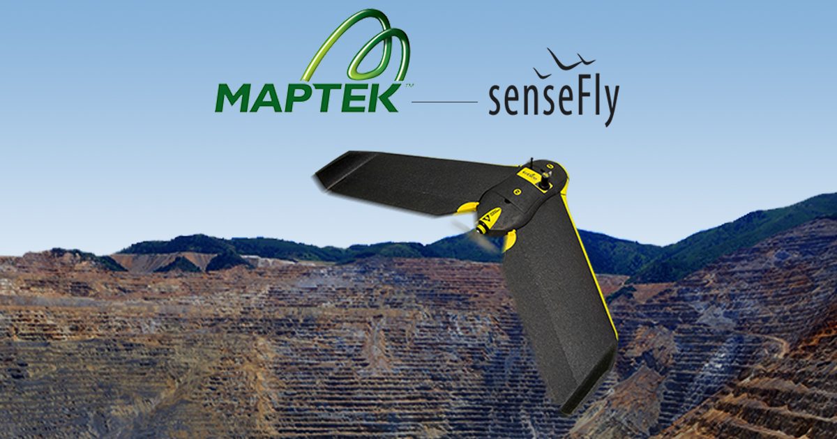
Commercial drone manufacturer senseFly has partnered with 3D modeling company Maptek to provide a complete solution for the mining industry.  The partnership seems like a perfect fit – the eBee commercial drone, a market leader in agriculture and other industrial applications, combined with a proven technology company with existing penetration in the mining market.

The new commercial partnership will allow Maptek to begin providing its customers with senseFly’s professional drones, the eBee, eBee RTK and albris with its I-Site Studio 3D modeling software.  The senseFly commercial drones are a unique offering – the eBee drone is ultra-lightweight, tipping the scales at about 1.5 pounds.  With long flight times and an easy to use, autonomous flying technology (“…just throw the eBee into the air!” claims the senseFly website) the drone has garnered significant press and attention since being introduced at CES 2014.  The Swiss company SenseFly has been a subsidiary of French drone company Parrot since 2012, providing the primarily consumer drone company with an impressive – and growing – commercial business.

“senseFly’s durable, largely automated mapping drones are already employed by thousands of professionals, such as mining engineers, around the world, who appreciate the productivity and safety boosting benefits of collecting geospatial data from the air,” says Jean-Christophe Zufferey, senseFly’s CEO, in a company statement. “By partnering with Maptek we are joining forces with one of the industry’s most respected and recognised solution providers, a company that is perfectly positioned to help bring such benefits to even more mining professionals.”

SenseFly says that the total solution offering makes it easy for mining customers to garner the return on their investment.  “The process of collecting, analysing and making decisions in the mining industry is key to productivity and return,” Brock Ryder, senseFly Sales Director and surveyor tells DRONELIFE. “Our partnership with Maptek creates this complete workflow allowing our customers to focus on the job at hand.”

“By combining a senseFly UAV with our I-Site Studio 3D modeling software, customers in the mining industry now have a powerful solution that is driven by not only survey requirements, but the in-depth modeling, change detection and data output requirements demanded by mining professionals,” said Todd Packebush, Maptek’s Director of I-Site Sales / Business Development.

The end-to-end solution looks like a win-win scenario for both companies and customers.  While mining customers get the benefits of an end-to-end, one stop shop; the senseFly mapping drones will get more exposure to a new market segment – a significant advantage in the competitive commercial drone industry.


Miriam McNabb

Miriam McNabb is the Editor-in-Chief of DRONELIFE and CEO of JobForDrones, a professional drone services marketplace, and a fascinated observer of the emerging drone industry and the regulatory environment for drones. Miriam has penned over 3,000 articles focused on the commercial drone space and is an international speaker and recognized figure in the industry.  Miriam has a degree from the University of Chicago and over 20 years of experience in high tech sales and marketing for new technologies.
For drone industry consulting or writing, Email Miriam.

TWITTER:@spaldingbarker

Subscribe to DroneLife here.

Filed Under: Business and Finance, News Tagged With: 3d modelling software, Commercial drone industry, Commercial Drones, drone mining, maptek, senseFly

Reader Interactions

Leave a Reply Cancel reply

Your email address will not be published. Required fields are marked *

Primary Sidebar

LATEST

Drone America and SpecTIR Partner to Expand Hyperspectral UAS Capabilities

Nevada-Based Companies Collaborate on Advanced Aerial Imaging for Government and Commercial Use A New Collaboration for Enhanced Aerial Sensing Drone…

Continue Reading Drone America and SpecTIR Partner to Expand Hyperspectral UAS Capabilities

Drones on Patrol: Texas Constable’s Office Expands UAV Program

Texas constable’s office beefs up its drone program By DRONELIFE Features Editor Jim Magill In a recent incident, a suspect…

Continue Reading Drones on Patrol: Texas Constable’s Office Expands UAV Program

PG&E Automates BVLOS Drone Compliance with AirData: A Case Study

Pacific Gas and Electric (PG&E) is taking a major step forward in drone operations by automating compliance for Beyond Visual…

Continue Reading PG&E Automates BVLOS Drone Compliance with AirData: A Case Study

Pierce Aerospace and MITRE Partner to Advance Remote ID Research

Collaboration will enhance UAS remote identification, airspace safety, and homeland security capabilities Pierce Aerospace and MITRE Launch New Remote ID…

Continue Reading Pierce Aerospace and MITRE Partner to Advance Remote ID Research

Progress in BVLOS Rulemaking: A Turning Point for U.S. Commercial Drone Operations

After years of anticipation and industry advocacy, the U.S. is finally seeing movement on a federal rule that could transform…

Continue Reading Progress in BVLOS Rulemaking: A Turning Point for U.S. Commercial Drone Operations

AI-Driven UTM Deployed in North Texas to Monitor Drone Traffic

Canadian company launches Texas drone traffic management system By DRONELIFE Features Editor Jim Magill As drone traffic increases in the…

Continue Reading AI-Driven UTM Deployed in North Texas to Monitor Drone Traffic

ANRA Technologies Becomes First EASA-Certified U-space Service Provider

Milestone Achieved at Airspace World Marks Major Step Forward for Europe’s Drone Airspace Integration ANRA Secures First-Ever EASA Certification for…

Continue Reading ANRA Technologies Becomes First EASA-Certified U-space Service Provider

WarrenUAS Receives FAA Approval to Train Students on Large Drones

New exemption allows Warren County Community College to expand its advanced UAS training capabilities WarrenUAS, the unmanned systems training program…

Continue Reading WarrenUAS Receives FAA Approval to Train Students on Large Drones

Teledyne FLIR OEM Thermal by FLIR Collaborator AerialOGI Launches First Dual-use OGI Camera Module

New AerialOGI-N Enables Real-Time Detection of Gas Emissions by Hand or Drone Teledyne FLIR OEM and AerialOGI Unveil AerialOGI-N Teledyne…

Continue Reading Teledyne FLIR OEM Thermal by FLIR Collaborator AerialOGI Launches First Dual-use OGI Camera Module

Commercial Drone Alliance’s Lisa Ellman Calls for Restoring American Leadership in Drones at Industry Summit

Summit Opens Amid Policy Shifts and Market Changes At the Commercial Drone Innovation and Security Summit in Washington, D.C., Lisa…

Continue Reading Commercial Drone Alliance’s Lisa Ellman Calls for Restoring American Leadership in Drones at Industry Summit

Secondary Sidebar

Footer

SPONSORED

Inspired Flight Gremsy IF800 VIO F1 drones geo week

What Will It Take to Strengthen U.S. Drone Manufacturing? A Conversation with Inspired Flight’s CEO

Global Mapper Mobile data collection

Collection Ground Control Points with Global Mapper Mobile

Military Drone Mapping Solutions

How SimActive’s Correlator3D™ is Revolutionizing Military Mapping: An Exclusive Interview with CEO Philippe Simard

Photogrammetry Accuracy Standards

SimActive Photogrammetry Software: Enabling Users to Meet Accuracy Standards for Over 20 Years

NACT Engineering Parrot ANAFI tether indoor shot

Smart Tether for Parrot ANAFI USA from NACT Engineering

Blue Marble, features global mapper, features Blue Marble

Check Out These New Features in Global Mapper v25 from Blue Marble

About Us | Contact Us | Advertise With Us | Write for Us | Privacy Policy | Terms of Service

The Trusted Source for the Business of Drones.

This website uses cookies and third party services. By clicking OK, you are agreeing to our privacy policy. ACCEPT

Manage consent

Privacy Overview

This website uses cookies to improve your experience while you navigate through the website. Out of these, the cookies that are categorized as necessary are stored on your browser as they are essential for the working of basic functionalities of the website. We also use third-party cookies that help us analyze and understand how you use this website. These cookies will be stored in your browser only with your consent. You also have the option to opt-out of these cookies. But opting out of some of these cookies may affect your browsing experience.
Necessary
Always Enabled
Necessary cookies are absolutely essential for the website to function properly. These cookies ensure basic functionalities and security features of the website, anonymously.
CookieDurationDescription
cookielawinfo-checkbox-analytics11 monthsThis cookie is set by GDPR Cookie Consent plugin. The cookie is used to store the user consent for the cookies in the category "Analytics".
cookielawinfo-checkbox-functional11 monthsThe cookie is set by GDPR cookie consent to record the user consent for the cookies in the category "Functional".
cookielawinfo-checkbox-necessary11 monthsThis cookie is set by GDPR Cookie Consent plugin. The cookies is used to store the user consent for the cookies in the category "Necessary".
cookielawinfo-checkbox-others11 monthsThis cookie is set by GDPR Cookie Consent plugin. The cookie is used to store the user consent for the cookies in the category "Other.
cookielawinfo-checkbox-performance11 monthsThis cookie is set by GDPR Cookie Consent plugin. The cookie is used to store the user consent for the cookies in the category "Performance".
viewed_cookie_policy11 monthsThe cookie is set by the GDPR Cookie Consent plugin and is used to store whether or not user has consented to the use of cookies. It does not store any personal data.
Functional
Functional cookies help to perform certain functionalities like sharing the content of the website on social media platforms, collect feedbacks, and other third-party features.
Performance
Performance cookies are used to understand and analyze the key performance indexes of the website which helps in delivering a better user experience for the visitors.
Analytics
Analytical cookies are used to understand how visitors interact with the website. These cookies help provide information on metrics the number of visitors, bounce rate, traffic source, etc.
Advertisement
Advertisement cookies are used to provide visitors with relevant ads and marketing campaigns. These cookies track visitors across websites and collect information to provide customized ads.
Others
Other uncategorized cookies are those that are being analyzed and have not been classified into a category as yet.
SAVE & ACCEPT