
Woolpert and Saildrone have partnered to collect and process bathymetric survey data for NOAA's Ocean Exploration and Office of Coast Survey. The mission supports safe navigation and ocean mapping initiatives, including the National Strategy for Mapping, Exploring, and Characterizing the United States Exclusive Economic Zone and the Seabed 2030 initiative. The … [Read more...] about Woolpert and Saildrone Deploy Autonomous USV for NOAA Seafloor Mapping Near Mariana Islands
hydrographic survey
Blue Marble Geographics Offers Live Webinar on Bathymetry and Terrain Analysis
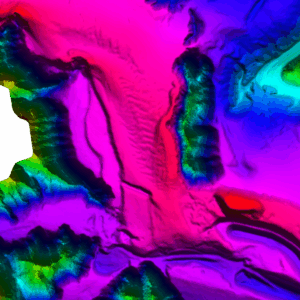
Hallowell, ME-based mapping company Blue Marble Geographics will host a free webinar on Thursday, August 21, at 10:00 AM EDT, focusing on bathymetry and terrain analysis with their software Global Mapper Pro. This event, which also serves as the debut live show of the GEOTalks Podcast, aims to help participants understand how geographic information system (GIS) professionals … [Read more...] about Blue Marble Geographics Offers Live Webinar on Bathymetry and Terrain Analysis


