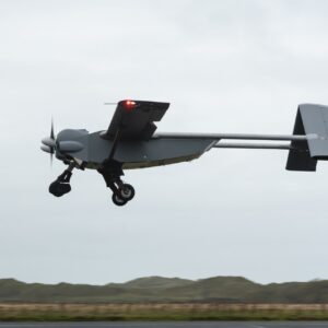
By Dronelife Features Editor Jim Magill An international team of researchers plans to deploy Windracers’ dual-use heavy-lift drone technology to study the interactions of ice and ocean water in the frigid Arctic region of northwestern Greenland. The study, which is expected to get under way this summer, will be a critical part of the so-called GIANT (Greenland Ice sheet … [Read more...] about Windracers ULTRA to Map Greenland’s Petermann Glacier
Research
Woolpert and Saildrone Deploy Autonomous USV for NOAA Seafloor Mapping Near Mariana Islands

Woolpert and Saildrone have partnered to collect and process bathymetric survey data for NOAA's Ocean Exploration and Office of Coast Survey. The mission supports safe navigation and ocean mapping initiatives, including the National Strategy for Mapping, Exploring, and Characterizing the United States Exclusive Economic Zone and the Seabed 2030 initiative. The … [Read more...] about Woolpert and Saildrone Deploy Autonomous USV for NOAA Seafloor Mapping Near Mariana Islands
Non-Profit Student-Led Group Unveils 3D Printed Research Drone

By Dronelife Features Editor Jim Magill As scientists across the world increasingly turn to drones as a vital tool in their research, they’re faced with questions surrounding the affordability and availability of the UAVs they need. A student-led non-profit group is seeking to solve those issues, with the creation of Lace, a mostly 3D-printed, modular designed drone that … [Read more...] about Non-Profit Student-Led Group Unveils 3D Printed Research Drone
Meteodrones Provide New Data to National Weather Service
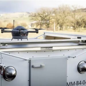
Switzerland-based meteorology data company Meteomatics has announced a partnership with NOAA's National Mesonet Program (NMP) to integrate operational weather drone data into National Weather Service forecasts—marking the first time drone-collected observations will feed directly into U.S. weather forecasting operations. Meteodrones Fill Critical Data Gaps The Meteodrones … [Read more...] about Meteodrones Provide New Data to National Weather Service
Wingcopter 198 Drones to Support Aerial Surveying in Japan

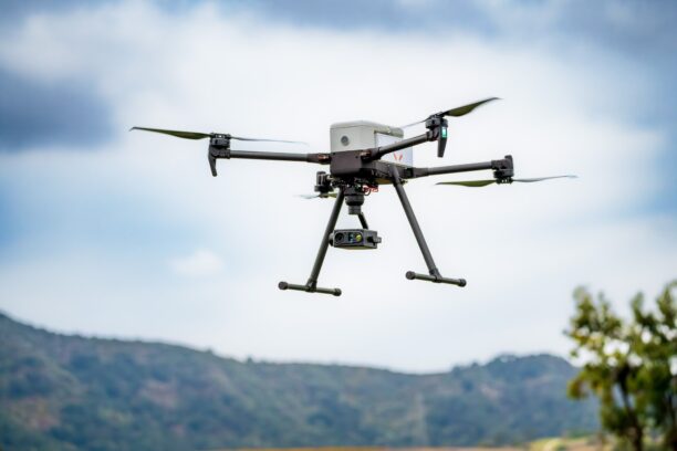
Wingcopter’s long-range Wingcopter 198 drone will be deployed for aerial surveying in Japan under a new collaboration between ITOCHU Corporation, PASCO Corporation, and YellowScan Japan Co., Ltd. The partners have signed an MOU to apply the platform to disaster management, terrain mapping, and post-event restoration tasks. The Wingcopter 198 combines vertical takeoff and … [Read more...] about Wingcopter 198 Drones to Support Aerial Surveying in Japan