
Swiss manufacturer Xer Technologies presented its Xer X8 hybrid-electric unmanned aircraft system at Intergeo 2025 in Frankfurt, demonstrating the platform's advanced capabilities for large-scale infrastructure monitoring operations. The Xer X8 addresses critical operational limitations of battery-powered drones through innovative hybrid propulsion technology. Xer X8 Technical … [Read more...] about From the Floor of Intergeo 2025: Xer Showcases Their Hybrid-Electric X8 Infrastructure Inspection Drone
Featured - Surveying
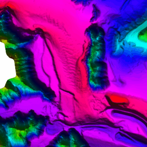
SimActive Enables 3D Calculations from Drone Imagery at Mining Sites

Correlator3D Software Streamlines Volume Measurements and Terrain Analysis SimActive Inc. has announced that its Correlator3D™ software is being used in Germany to generate volumetric calculations from drone imagery. The technology creates dense point clouds at mining sites, enabling accurate volume measurements and detailed terrain analysis. Improving Mining Operations … [Read more...] about SimActive Enables 3D Calculations from Drone Imagery at Mining Sites
Blue Marble Geographics Offers Live Webinar on Bathymetry and Terrain Analysis
Hallowell, ME-based mapping company Blue Marble Geographics will host a free webinar on Thursday, August 21, at 10:00 AM EDT, focusing on bathymetry and terrain analysis with their software Global Mapper Pro. This event, which also serves as the debut live show of the GEOTalks Podcast, aims to help participants understand how geographic information system (GIS) professionals … [Read more...] about Blue Marble Geographics Offers Live Webinar on Bathymetry and Terrain Analysis
DJI Terra 3D Modeling Software Now with 3D Gaussian Splatting – What’s That?

Next-gen reconstruction tech delivers faster, more accurate 3D modeling for large-scale and complex environments DJI Terra: A Powerful Tool for Aerial Data Processing DJI has expanded the capabilities of its Terra 3D modeling software with new reconstruction technologies, including 3D Gaussian Splatting. DJI Terra is designed to create accurate and detailed 2D and 3D models … [Read more...] about DJI Terra 3D Modeling Software Now with 3D Gaussian Splatting – What’s That?
Wingtra Unveils WingtraRAY: A New Drone to Transform Aerial Surveying

The new platform offers faster workflows, safer urban operations, and broad payload flexibility for surveyors worldwide. Wingtra's new drone, WingtraRAY, designed to push the limits of aerial surveying and mapping. The WingtraRAY is built specifically for surveyors and promises to remove many of the operational barriers they face today. One major highlight is its ability to … [Read more...] about Wingtra Unveils WingtraRAY: A New Drone to Transform Aerial Surveying


