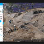
Terra Drone Co., Ltd. headquartered in Shibuya-ku, Tokyo, have launched their image processing software "Terra Mapper" designed to assist drone surveying services. Terra Mapper is an automated drone navigation, image processing, and 3D image analysis program that is available in both cloud and desktop versions. It enables users to accurately inspect the 2D & 3D data images … [Read more...] about Terra Drone Announces New Image Processing Software, “Terra Mapper” to Commercial Market
- Skip to main content
- Skip to secondary menu
- Skip to primary sidebar
- Skip to secondary sidebar
- Skip to footer
DRONELIFE
Stay up to date on all the latest Drone News


