
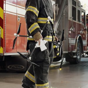
New LiveOps layers integrate NOAA fire and smoke data to give public safety agencies a more complete operational picture BRINC has added wildfire and smoke tracking to its LiveOps platform, giving public safety agencies another source of information during active fire response. The company announced two new map layers on August 10. The features display active fire detections … [Read more...] about BRINC Brings Wildfire and Smoke Tracking Into Drone Operations
LiveOps
BRINC Partnership Gives Public Safety Agencies an “Immediate Upgrade” in Incident Intelligence

BRINC and Nova Partner to Add Advanced Mapping and Thermal Intelligence for Public Safet Public safety drone manufacturer BRINC has announced a new partnership with Nova Software Company aimed at bringing advanced aerial mapping and data analysis capabilities to first responders. The companies say the integration will allow agencies using BRINC drones to turn aerial imagery … [Read more...] about BRINC Partnership Gives Public Safety Agencies an “Immediate Upgrade” in Incident Intelligence





