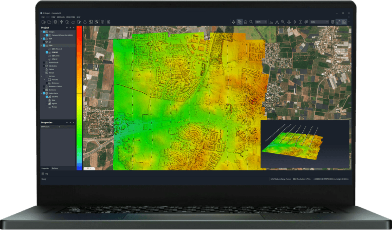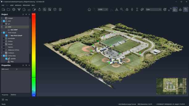

The startup is developing tools that create georeferenced 2D maps from a small number of images, without requiring specialized infrastructure. INTERGEO brings together established geospatial companies and startups exploring new approaches to mapping. At the 2026 event in Munich, AIVE AI Systems demonstrated how artificial intelligence could simplify complex mapping tasks. The … [Read more...] about From Wildfire Detection to Fast Mapping: AIVE AI Systems Expands Access to Geospatial Data
INTERGEO 2026
GeoCue Launches TrueView 550 Aerial LiDAR System at INTERGEO
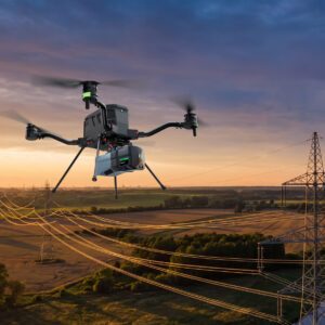
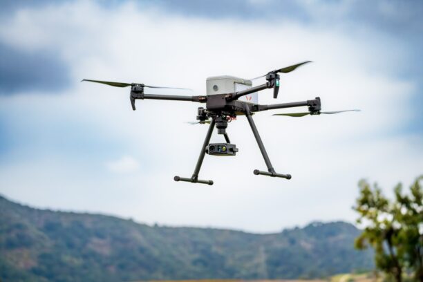
New system combines advanced LiDAR, dual mapping cameras and two positioning options for professional surveying and mapping. GeoCue has expanded its standard aerial LiDAR portfolio with the launch of the TrueView 550. The company announced the new mapping system at INTERGEO 2026 in Munich, Germany. The TrueView 550 builds on GeoCue’s TrueView 539 and TrueView 540 systems. It … [Read more...] about GeoCue Launches TrueView 550 Aerial LiDAR System at INTERGEO
The Drone Is No Longer the Point
At INTERGEO, attention has shifted from individual platforms to complete geospatial workflows. One of the clearest drone industry trends at INTERGEO 2026 is not a new aircraft or sensor. It is how fully drones have entered the wider geospatial workflow. In earlier years, drones occupied their own category and their own space on the show floor. That made sense - drones often … [Read more...] about The Drone Is No Longer the Point
Beyond the Drone: What to See at INTERGEO 2026 in Munich
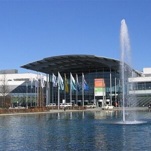
DRONELIFE heads to INTERGEO for a look at the mapping, lidar, photogrammetry, AI and digital twin technologies shaping the next generation of drone operations. INTERGEO 2026 takes place September 15–17 at Messe München, bringing together the international geospatial community for three days of exhibits, technical sessions and industry discussion. For commercial drone … [Read more...] about Beyond the Drone: What to See at INTERGEO 2026 in Munich
From Power Lines to Mine Shafts: Lidar Expands the Reach of Drone Mapping

Ouster partnerships with GeoCue and Flyability show how next-generation lidar is supporting applications above infrastructure and deep inside confined spaces Two recent partnerships from lidar developer Ouster highlight the expanding role of lidar in commercial drone operations. The applications range from surveying utility infrastructure from the air to mapping confined … [Read more...] about From Power Lines to Mine Shafts: Lidar Expands the Reach of Drone Mapping