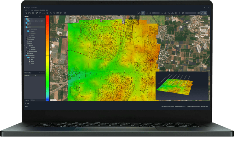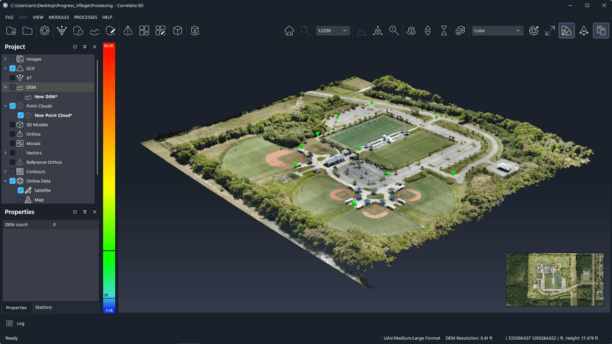
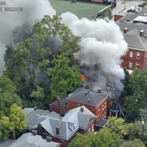
New integration gives fire departments access to drone locations, live video, and thermal imagery within their existing incident command software. By DRONELIFE Features Editor Jim Magill An incident commander at the scene of a major fire must be able to rapidly collect and coordinate multiple pieces of intelligence in order to effectively direct various fire-fighting assets, … [Read more...] about Fire Commanders Can See Drone Locations and Live Video in One Place with New Skydio Partnership
emergency response
Venezuela Earthquakes Show the Power of Drones, and the Challenge of a Crowded Sky

At Commercial UAV Expo, Juan Plaza outlined how drones supported rescue, damage assessment and recovery after the June earthquakes, while warning that disaster response requires a plan for coordinating the aircraft overhead. When two powerful earthquakes struck Venezuela on June 24, 2026, drones were in the air within minutes. They gave authorities an early view of widespread … [Read more...] about Venezuela Earthquakes Show the Power of Drones, and the Challenge of a Crowded Sky
United Utilities Uses Thermal Drones to Find Hidden Moorland Fire Hotspots
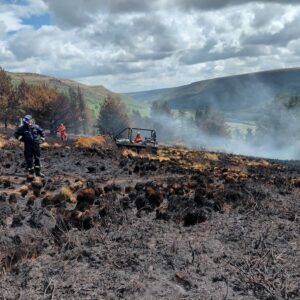
Thermal imaging drones help crews locate underground heat pockets that could reignite after major fires in northwest England. United Utilities is using thermal imaging drones to find hidden hotspots left behind by recent moorland fires in northwest England. The water company has supported emergency services since fires broke out at the end of June. Although cooler … [Read more...] about United Utilities Uses Thermal Drones to Find Hidden Moorland Fire Hotspots
Drones Bring Whole Blood Directly to Trauma Scenes

Hillsborough County program aims to deliver blood to first responders in under three minutes Archer First Response Systems (ArcherFRS) is supporting a drone program designed to deliver whole blood directly to emergency scenes in Hillsborough County, Florida. The initiative brings together Hillsborough County Fire Rescue (HCFR), Tampa General Hospital (TGH), OneBlood, the … [Read more...] about Drones Bring Whole Blood Directly to Trauma Scenes
GeoComm and SkyfireAI Aim to Improve Location Intelligence for Drone as First Responder Programs
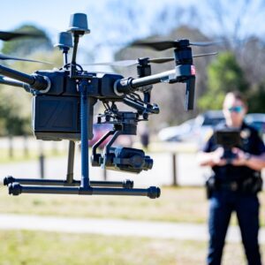
Partnership aims to give Drone as First Responder programs more complete location intelligence before aircraft launch GeoComm and SkyfireAI have announced a new integration designed to improve how Drone as First Responder (DFR) programs respond to emergency calls. The companies are combining GeoComm's DFR Routing technology with SkyfireAI's autonomous drone platform to give … [Read more...] about GeoComm and SkyfireAI Aim to Improve Location Intelligence for Drone as First Responder Programs