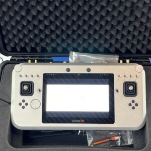
With Linux, Windows, and Android compatibility, ultra-long-range data links, and rugged design, the BeastTX is redefining all-in-one drone control solutions. by DRONELIFE Staff Writer Ian J. McNabb Dronelife recently visited German engineering firm Multiplex’s booth at INTERGEO, where they were displaying the latest edition of their Made-in-Germany ultra heavy-duty BeastTX … [Read more...] about Multiplex Unveils BeastTX at INTERGEO: A Powerhouse Controller for Drone Operators
drone mapping technology
Advanced Mapping Techniques Reach New Heights in the Himalayas
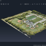
SimActive's Correlator3D Software Empowers NEPC to Overcome Geographic Challenges In a significant technological stride, SimActive Inc., a leader in photogrammetry software development, facilitated comprehensive mapping projects in the daunting terrains of the Himalayas through its Correlator3D™ software. This pioneering venture was carried out by Nektor Engineers and Project … [Read more...] about Advanced Mapping Techniques Reach New Heights in the Himalayas
SimActive Photogrammetry Software: Enabling Users to Meet Accuracy Standards for Over 20 Years
Mastering Precision: Navigating the Evolving Landscape of Photogrammetry with SimActive SimActive, a Montreal-based photogrammetry software company with over 20 years serving the mapping community. From satellites to aircraft and drones, one software for all acquisition platforms, designed to support all sizes of professional photogrammetry providers. Accuracy standards are … [Read more...] about SimActive Photogrammetry Software: Enabling Users to Meet Accuracy Standards for Over 20 Years


