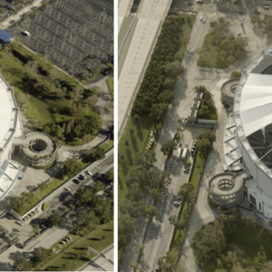
EagleView produces high-resolution images in the wake of disasters By DRONELIFE Features Editor Jim Magill Soon after two powerful and devastating hurricanes, Helene and Milton, struck Florida within weeks of each other last fall, data analytics company EagleView Technologies was on the scene, capturing high-resolution aerial images of the destruction to aid recovery efforts … [Read more...] about EagleView’s High-Tech Response to Natural Disasters: Capturing Devastation from Above
Disaster Relief
AIRT Launches ‘AAM For Good’ to Advance Air Mobility for Public Safety and Emergencies
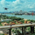
Program Aims to Develop Framework for Integrating Advanced Air Mobility Systems in Critical Situations AIRT, a leading non-profit organization based in Miami, Florida, has announced the launch of a new program, AAM For Good℠. This initiative is designed to support the development of Advanced Air Mobility (AAM) systems and technology for public safety and emergency … [Read more...] about AIRT Launches ‘AAM For Good’ to Advance Air Mobility for Public Safety and Emergencies
Drones in Disaster Response: Harnessing the Potential of Unmanned Aerial Systems
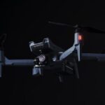
The Role of Drone Technology in Crisis Management and its Impact on Communities In the wake of recent devastating earthquakes in Japan, the question arises: how can the drone community be best leveraged to respond to communities in crisis? This is not the first time drones have been deployed in disaster response. They were first recognized as a valuable tool during Hurricane … [Read more...] about Drones in Disaster Response: Harnessing the Potential of Unmanned Aerial Systems
3 Surprising Ways Commercial Drones Make Our Country Safer
Guest post by Tero Heinonen, Sharper Shape Inc.— When drone technology first came on the scene, hobbyists and military personnel were the only ones paying attention. But now, the use of commercial drones is on the rise, and they are surprisingly impacting more industries. In the world of agriculture, drones are helping us grow more food by assisting farmers assess crop health. … [Read more...] about 3 Surprising Ways Commercial Drones Make Our Country Safer
Drones Create 3D Maps to Aid Ghorka Earthquake Victims
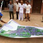
"Digital Humanitarian" and founder of the Humanitarian UAV Network Patrick Meier is using drone technology to its utmost potential for humanitarian aid, most recently utilizing aerial imaging to create amazing 3D maps of the areas most damaged by the Ghorka Earthquake in Nepal. The Ghorka Earthquake has claimed over 9,000 lives, and left hundreds of thousands … [Read more...] about Drones Create 3D Maps to Aid Ghorka Earthquake Victims

