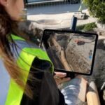
viDoc RTK by Pix4D Launches in USA and Canada by DRONELIFE Staff Writer Ian M. Crosby Photogrammetry solutions leader Pix4D has just released the viDoc RTK rover in the USA and Canada. Previously released in Europe, the German-designed rover connects to the latest iOS devices in order to bring RTK accuracy to terrestrial scanning on iPhones and iPads. The viDoc rover … [Read more...] about viDoc Rover and Pix4Dcatch: viDoc RTK Now Available in US and Canada for RTK Accuracy on an iPhone or iPad
Surveying
Photogrammetry is Evolving: Pix4D Announces Pix4Dmatic
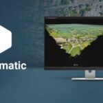
As mapping professionals are called on to map larger and larger areas around the world, photogrammetry software is evolving to meet their needs. Today, Pix4D announces PixDmatic: faster, accurate photogrammetry on a larger scale. "Projects that would have previously been mapped by aircraft are now being surveyed with drones," says a Pix4D press release. "With Pix4Dmatic, … [Read more...] about Photogrammetry is Evolving: Pix4D Announces Pix4Dmatic
DJI Drone LiDAR: Introducing Livox and Avia
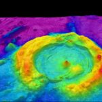
"LiDAR is an important piece to the puzzle of accurate models," said Arjun Menon, DJI's Engineering Manager, at this morning's AirWorks keynote. "The challenges of LiDAR have always been in the category of production," he notes - a highly functioning, lightweight and inexpensive LiDAR appropriate for drone use has been hard to find. "We are increasingly interested in bringing … [Read more...] about DJI Drone LiDAR: Introducing Livox and Avia
Woolpert Deploys Survey Drones for Colorado DOT
An architectural/engineering firm is using survey drones to make Colorado highways safer. Engineering firm Felsburg Holt & Ullevig brought in Woolpert to complete drone surveys for a right-of-way project in Castle Rock, Colo. Using a process known as InRoads Terrain Modeling Survey System, the Colorado Department of Transportation project will use the imagery and mapping … [Read more...] about Woolpert Deploys Survey Drones for Colorado DOT
Orthophoto Survey Drones Help Predict Flash Flooding
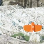
Orthophoto survey drones are providing new insights to scientists tracking ice and water levels in Alaska. A research team led by Gabriel Wolken of the University of Alaska Fairbank's Climate Adaptation Science Center has been measuring rising and falling ice and water levels in Suicide Basin glacial lake just outside Juneau. By working to visualize and predict the … [Read more...] about Orthophoto Survey Drones Help Predict Flash Flooding


