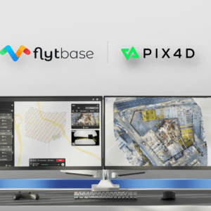
Integration Simplifies Project Management for Automated Drone Operations FlytBase, a drone autonomy software platform, has announced a strategic partnership with Pix4D, a leading photogrammetry platform for terrestrial and drone mapping. This collaboration aims to streamline drone data processing workflows by allowing FlytBase users to seamlessly upload their drone-captured … [Read more...] about FlytBase and Pix4D Partner to Streamline Drone Data Processing Workflows
Data analytics
Perceptual Robotics Unveils Next-Generation AI for Renewable Energy

Perceptual Robotics introduces new AI-driven damage classification and offshore services, enhancing wind energy inspection capabilities. Perceptual Robotics, a leader in advanced inspection solutions for large infrastructures, is set to transform the energy industry with its latest innovations. The company has unveiled AI-driven recommendations for damage severity … [Read more...] about Perceptual Robotics Unveils Next-Generation AI for Renewable Energy
SkyeBrowse Unveils Major Update for Faster 3D Modeling
Enhanced Processing Speed and New GPS Feature Boost Accuracy for Construction, Surveying, and Public Safety by DRONELIFE Staff Writer Ian J. McNab Telemetry software developer SkyeBrowse recently announced a major update to their flagship product, bringing them substantially closer to their stated goal of creating truly real-time 3D models using UAV assets. As part of these … [Read more...] about SkyeBrowse Unveils Major Update for Faster 3D Modeling
AirData UAV Offers Seamless Flight Tracking Solutions Amid DJI Cloud Sync Discontinuation

DJI's Sync Flight Data Feature Disablement Leads Pilots to AirData's Alternativ AirData UAV, a leader in drone flight data analytics, has announced continued support for seamless flight tracking for pilots and fleet managers who utilize DJI products. This announcement follows DJI's decision to disable the "Sync Flight Data" feature to the DJI cloud in its flight apps in June … [Read more...] about AirData UAV Offers Seamless Flight Tracking Solutions Amid DJI Cloud Sync Discontinuation
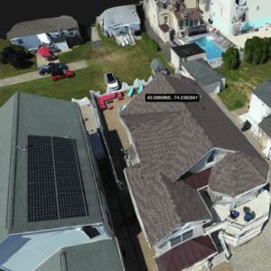
Pix4D Releases Enhanced PIX4Dcatch 2.0 with AR Features
Latest update integrates professional augmented reality tools for improved precision in AEC sectors. Swiss-based Pix4D, a leading provider of drone and terrestrial mapping solutions, announced today the release of the upgraded version of their mobile scanning app, PIX4Dcatch 2.0. This update introduces augmented reality (AR) capabilities and expands compatibility with … [Read more...] about Pix4D Releases Enhanced PIX4Dcatch 2.0 with AR Features


