
DJI has announced a raft of product news at the INTERGEO conference in Stuttgart, Germany. The updates from the drone industry’s leading manufacturer are aimed at improving the company’s surveying tools.


DJI Updates Mapping & Surveying Solutions
The new products and updates include:
Matrice 210 RTK V2 + Zenmuse X7
A new package that combines a rugged aerial platform with precise surveying with an industry-leading camera. DJI will be hoping this versatile solution sets the standard for surveying, photogrammetry models and centimeter-level accuracy.
Read more: Terra For Drone Software Vendors as DJI Launches Mapping & Modeling Tool
DJI Terra Updates
DJI has also introduced a range of updates to its mapping software, Terra. The expanded capabilities look set to accelerate data processing, improve mapping accuracy and streamline operations. Some of the new features include:
● Ground Control Points and Checkpoints can be set to achieve high accuracy reconstructions using drones that are not RTK-enabled.
● Render and visualize a 3D point cloud in real-time for quick decision making on-site and 3D flight planning.
● A new Corridor Mission Plan creates automated flight missions around roads and railways when the user simply draws a line on the map.
● Users can now convert maps and models into 8500+ global coordinate systems based on their needs.
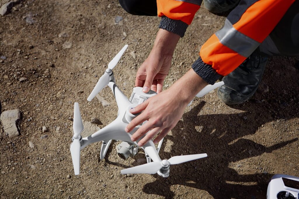

Phantom 4 RTK + GS RTK v2.2
Phantom 4s are not always easy to find on the DJI store these days, including the RTK model launched toward the end of 2018.
But a revamped version is set to be made available, which features updates to provide more intuitive controls and give users more flexibility in mission execution. The updates to DJI’s Phantom 4 RTK include:
● A new Cloud PPK Service, which enables image uploads and PPK corrections right in the GS RTK app.
● The ability to break large areas into multiple flight missions automatically using the Block Segmentation feature, improving the efficiency in mission planning and final map accuracy.
● A new tool called Absolute Altitude Flight, which ensures mission repeatability and consistency across different operators.
● By using the D-RTK 2 High Precision GNSS Mobile Station as an RTK rover, users can now enjoy more flexibility in mission planning and execution.
“The product improvements we are introducing at InterGeo are significant steps to solidifying DJI’s role as a provider of a next-generation geospatial data collection platform – an essential tool and an integral driver of growth for countless service providers and solution developers,” said Dr. Barbara Stelzner, Director, Marketing and Corporate Communication, DJI Europe.
DJI Partners with Delair
DJI has also recently partnered with French aerial data specialists Delair. You can read more about that here: DJI and Delair Partner for Enterprise Data Collection and Analysis.
Pricing & Availability
Matrice 210 RTK V2, DJI Terra and Phantom 4 RTK are available through official DJI Enterprise resellers worldwide.


Malek Murison is a freelance writer and editor with a passion for tech trends and innovation. He handles product reviews, major releases and keeps an eye on the enthusiast market for DroneLife.
Email Malek
Twitter:@malekmurison
Subscribe to DroneLife here.