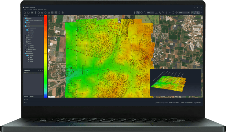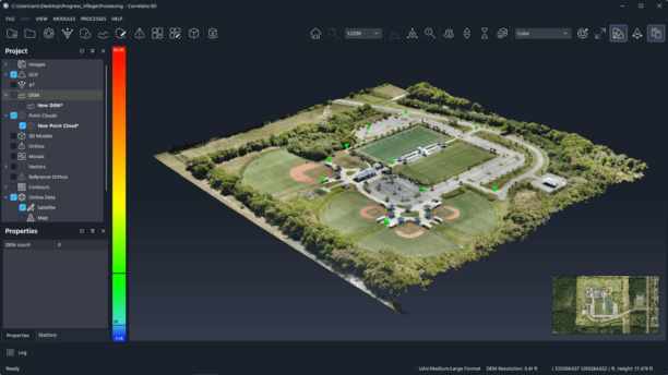
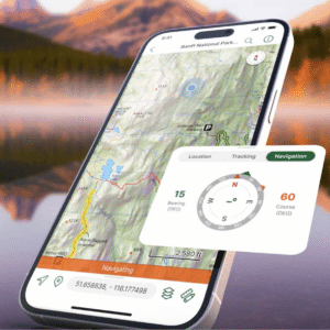
New Global Mapper subscription brings geospatial tools together as Blue Marble builds deeper connections between drone data, desktop analysis and field operations For drone mapping professionals, collecting data is only one part of the job. Drone imagery and lidar must be processed, positioned, analyzed and turned into information people can use. In many cases, that … [Read more...] about Blue Marble Moves Toward an End-to-End Geospatial Workflow
INTERGEO
From Maps to Operational Intelligence: How Defense Is Changing the Mapping Workflow
From the INTERGEO show floor in Munich, SimActive CEO Philippe Simard discusses why speed, usability and data integration increasingly matter in defense mapping At INTERGEO this week in Munich, the geospatial industry is showcasing new ways to turn mapping data into useful information. Philippe Simard, CEO of SimActive, a leading developer of photogrammetry software, sees a … [Read more...] about From Maps to Operational Intelligence: How Defense Is Changing the Mapping Workflow
Globhe is Using Drones to Improve Global Health: From the Floor of Intergeo

From the floor of Intergeo in Berlin last week, DRONELIFE speaks with Andreas Nordansjö, CMO of drone data and impact tech firm GLOBHE about using drones and drone data to improve outcomes in global health. Continue reading below, or listen: DroneLife · GLOBHE - Using - Drones - For - Better - Outcomes - In - Global - Health GLOBHE gets results by offering stakeholders … [Read more...] about Globhe is Using Drones to Improve Global Health: From the Floor of Intergeo
What’s the Real Risk of a Falling Drone? From the Floor of InterGeo 2023

Regulators, insurers, advanced drone operators and community members all want to know: what's the real risk of a falling drone? From the floor of Intergeo 2023: how to quantify the risk. Laura Gonzalez Combrink of Accenture consulting gave a presentation on their initiative to enhance existing data sets, in order to determine and quantify the risk of falling drones. … [Read more...] about What’s the Real Risk of a Falling Drone? From the Floor of InterGeo 2023
INTERGEO 2023 in Berlin: Even More Focus on Drones

INTERGEO is the world's largest GIS show, held each year in a different German community. This year, INTERGEO 2023 will be held in Berlin, October 10-12. Continue reading below, or listen: DroneLife · INTERGEO - Coming - To - Berlin Drones have been a critical tool in surveying since they became common in commercial use, and INTERGEO has adapted to showcase new drone … [Read more...] about INTERGEO 2023 in Berlin: Even More Focus on Drones