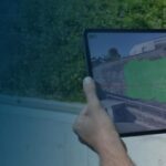
Drone trade shows around the world are opening up, and companies are showcasing their newest techologies. Photogrammetry company Pix4D started in 2011 to harness the power of aerial data. Now, the company will be at InterGeo to showcase their new Pix4D terrestrial data collection hardware and software, which provide customers with a ground-based option to effectively map an … [Read more...] about Pix4D Showcases Terrestrial Data Collection Hardware and Software at InterGeo
- Skip to main content
- Skip to secondary menu
- Skip to primary sidebar
- Skip to secondary sidebar
- Skip to footer


