Drone America and UAS Center at SBD Collaborate on Advanced Safety Tools Drone America has announced a partnership with the UAS Center at SBD, focusing on wildfire prevention and mitigation. The collaboration combines advanced drone technology with regional expertise to create innovative tools that enhance community safety and emergency response. “By combining Drone … [Read more...] about Drone Technology Supports Wildfire Prevention and Response
real time mapping
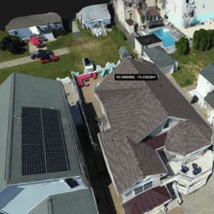
SkyeBrowse Unveils Major Update for Faster 3D Modeling
Enhanced Processing Speed and New GPS Feature Boost Accuracy for Construction, Surveying, and Public Safety by DRONELIFE Staff Writer Ian J. McNab Telemetry software developer SkyeBrowse recently announced a major update to their flagship product, bringing them substantially closer to their stated goal of creating truly real-time 3D models using UAV assets. As part of these … [Read more...] about SkyeBrowse Unveils Major Update for Faster 3D Modeling
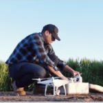
It’s Planting Time – and DroneDeploy Has a New Tool
DroneDeploy, the leading cloud software platform for commercial drones, announced the beta release of Fieldscanner today: real-time drone mapping for farmers. Fieldscanner allows farmers to get maps as the drone flies - "enabling real-time, offline mapping for immediate in-field analysis." “Growers have been asking for real-time, in-field mapping for a long time, and … [Read more...] about It’s Planting Time – and DroneDeploy Has a New Tool


