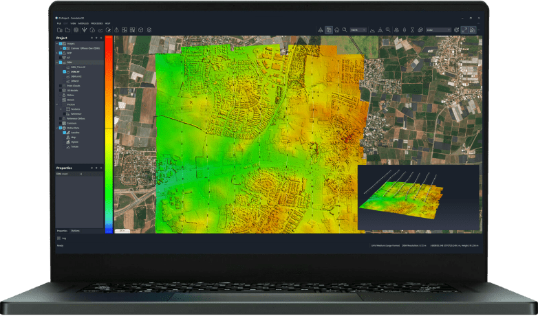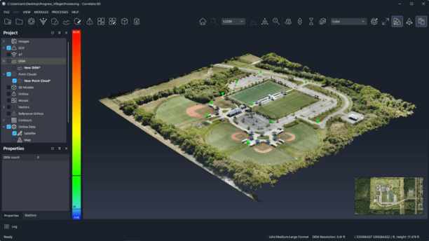

Drones and mapping go hand in hand: the aerial imagery captured by drones provides a new way of creating accurate maps and models of areas both large and small. DroneDeploy has been at the forefront of drone mapping since 2013. It's founders have always done what they could to help first responders as situations arose - and now, the company's non-profit arm is working with … [Read more...] about DroneDeploy and Disaster Relief Australia Form Partnership
DroneDeploy
DroneDeploy’s Summer Release Moves Drone Mapping Closer to a One Button Process

DroneDeploy's summer release is another feature-rich product update. Ever since DroneDeploy launched in 2013, co-founders Mike Winn and Jono Millin have been working towards an ultimate goal - streamlining the process and eliminating the steps that it takes to process aerial imagery until processing drone maps becomes a one button process. Over the years, DroneDeploy has … [Read more...] about DroneDeploy’s Summer Release Moves Drone Mapping Closer to a One Button Process
DroneDeploy Expands Down Under to Meet Increasing Global Demand

CA-based drone mapping platform DroneDeploy expands this month, opening a new office in Australia and hiring a new Chief Financial Officer. "Both steps will help DroneDeploy, the leading enterprise-grade drone software solution, serve a diverse and increasing group of customers and industries benefiting from drone software around the world," says a company press release. … [Read more...] about DroneDeploy Expands Down Under to Meet Increasing Global Demand
DroneDeploy’s New Release is Looking Forward

DroneDeploy's new release shows that despite the coronavirus, the company is working to ensure that businesses can get the data they need - regardless of the circumstances. DroneDeploy has expanded their product offering continually over the last several years. The spring release may be one of the biggest yet: with an impressive list of new features. To summarize: … [Read more...] about DroneDeploy’s New Release is Looking Forward
An Insider Look at an Edinburgh University Researcher’s Drone Project in the Andes – the Drones, the Sensors, and the Software
Researchers from Edinburgh University are using drones to study and demarcate global warming, and to determine how it is affecting glaciers in the Andes, a recent BBC article reports. DRONELIFE reached out to the makers of the drones to learn more about the project - but first, the research. Researches from a variety of sources have estimated that the glaciers have … [Read more...] about An Insider Look at an Edinburgh University Researcher’s Drone Project in the Andes – the Drones, the Sensors, and the Software