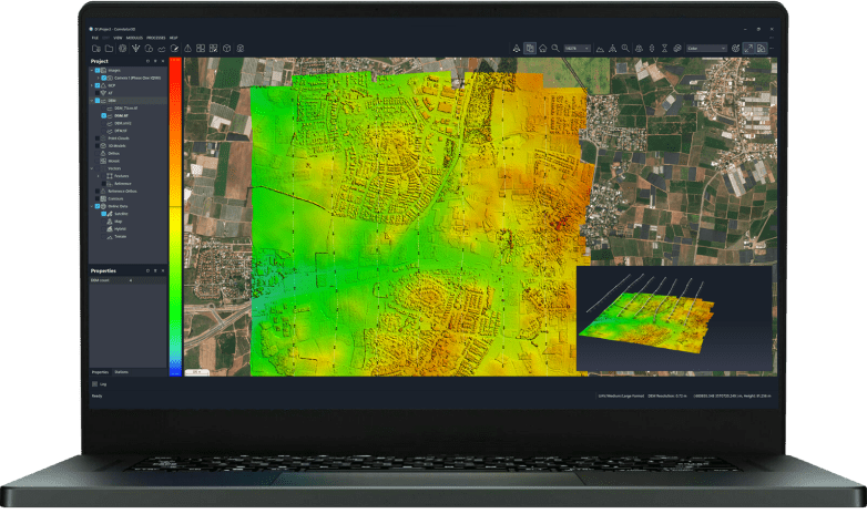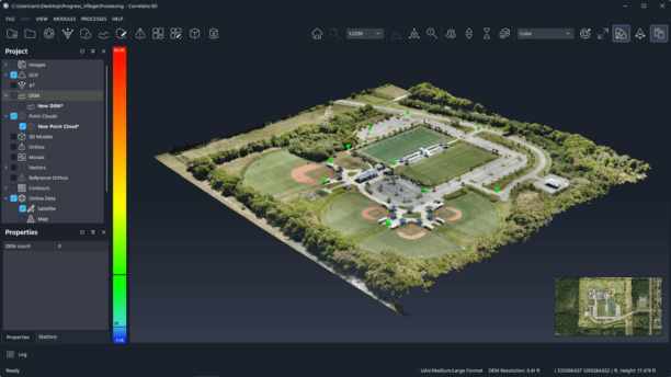
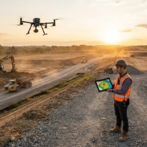
The release lets drone teams compare up to 10 surveys of a site over time, measure earthwork against design, check accuracy against their own ground control and plan security cameras on the 3D model. SkyeBrowse announced a new set of features on October 20, 2026 for its videogrammetry platform for rapid 3D and 2D mapping. The release centers on SkyeBrowse Timelines and a group … [Read more...] about SkyeBrowse Adds New Timelines Tools For Drone Surveys
Construction drones
Bechtel and Cyberhawk Expand Eight-Year Collaboration on AI-Driven Drone Construction Monitoring

The two companies formalize their partnership to scale iHawk drone analytics, autonomous data capture and AI-assisted site analysis on live EPC projects. Bechtel Corporation and Cyberhawk have expanded their collaboration on drone-based construction monitoring. The two companies formalized joint work on capturing, processing and using construction data. The effort spans … [Read more...] about Bechtel and Cyberhawk Expand Eight-Year Collaboration on AI-Driven Drone Construction Monitoring
New Survey Shows Just How Dependent Construction Is on Chinese Drones
ABC finds nearly all drone-using respondents rely primarily on DJI, highlighting the challenge of shifting to alternative platforms by DRONELIFE Features Editor Jim Magil As the U.S. government puts the squeeze on foreign drone manufacturers, it is likely to significantly increase costs for the drone users in the construction industry, virtually all of whom fly Chinese-made … [Read more...] about New Survey Shows Just How Dependent Construction Is on Chinese Drones
Can You Get Survey-Grade Accuracy Without Ground Control Points?
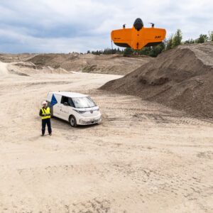
New Study Explores When Drone Mapping Can Reduce Ground Setup A new white paper from Swiss drone manufacturer Wingtra takes on a long-standing question in drone surveying: is it possible to achieve survey-grade accuracy without ground control points (GCPs)? The report, Repeat Accuracy Verification, presents results from 102 drone flights designed to test both accuracy and … [Read more...] about Can You Get Survey-Grade Accuracy Without Ground Control Points?
Another New Drone from ZenaTech
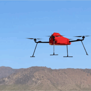
ZenaTech Launches ZenaDrone IQ Quad for Survey and Mapping Markets New autonomous quadcopter targets land surveying, construction, urban planning, and public works ZenaTech has announced the launch of the ZenaDrone IQ Quad, a new autonomous quadcopter designed for survey and mapping work. The drone will support land surveying, construction, urban planning, real estate … [Read more...] about Another New Drone from ZenaTech