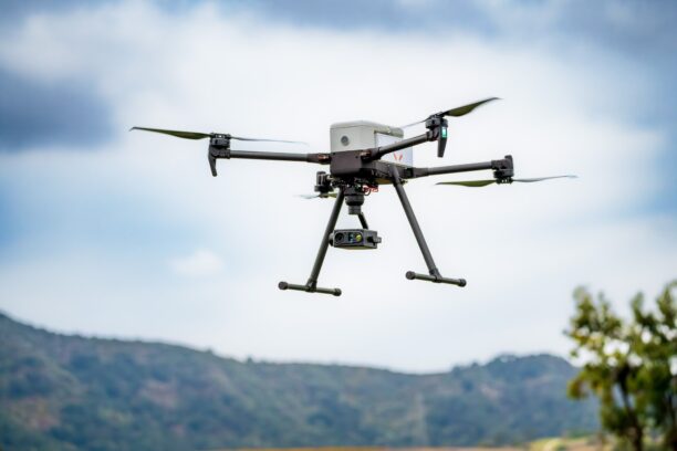
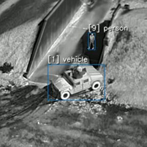
Prism A-ISR combines AI detection, multispectral imaging and edge processing for airborne surveillance and defense applications Teledyne FLIR OEM has launched Prism A-ISR, a new software module designed to provide AI-enabled air-to-ground detection and tracking for uncrewed aircraft systems (UAS) and other airborne intelligence, surveillance and reconnaissance (ISR) … [Read more...] about Teledyne FLIR Launches AI-Enabled Air-to-Ground Tracking Software for UAS
AI
GeoComm and SkyfireAI Aim to Improve Location Intelligence for Drone as First Responder Programs
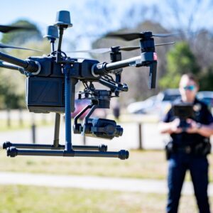
Partnership aims to give Drone as First Responder programs more complete location intelligence before aircraft launch GeoComm and SkyfireAI have announced a new integration designed to improve how Drone as First Responder (DFR) programs respond to emergency calls. The companies are combining GeoComm's DFR Routing technology with SkyfireAI's autonomous drone platform to give … [Read more...] about GeoComm and SkyfireAI Aim to Improve Location Intelligence for Drone as First Responder Programs
FlyGuys and TerraFort Cut Disaster Damage Assessments from Months to Days
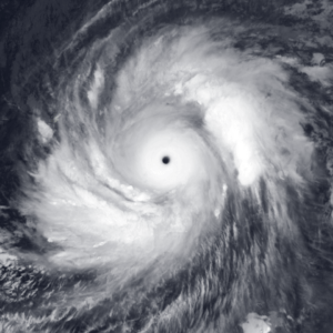
Integrated platform cuts damage assessment time from months to 10 days following Super Typhoon Sinlaku FlyGuys and disaster intelligence company TerraFort have announced the results of a partnership that combines drone-based aerial data collection with AI-powered damage assessment. The companies say the approach helped complete a large-scale post-disaster assessment in the … [Read more...] about FlyGuys and TerraFort Cut Disaster Damage Assessments from Months to Days
Niantic Spatial and Spexi Turn Drone Imagery Into Physical AI

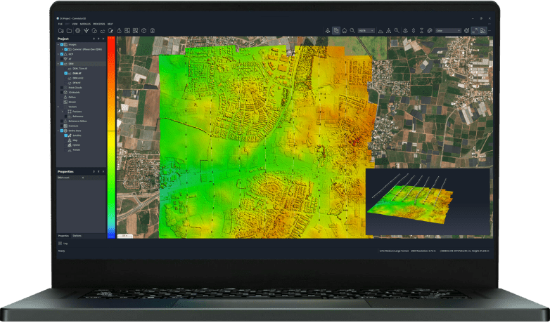
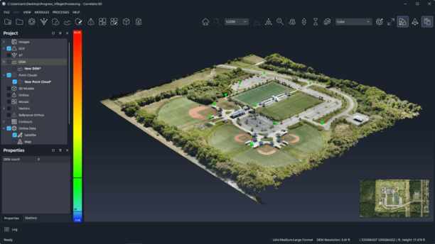
A new partnership routes Spexi's aerial captures through Niantic Spatial's Reconstruction API to produce city-scale 3D Gaussian splats for enterprise customers. Niantic Spatial and Spexi Geospatial announced a strategic partnership that pairs Spexi's aerial data network with Niantic Spatial's 3D reconstruction pipeline. The deal positions drone imagery for physical AI as an … [Read more...] about Niantic Spatial and Spexi Turn Drone Imagery Into Physical AI
Near Earth Autonomy Wins MARV-EL Contract for Marine Corps Logistics Drone

Naval Air Systems Command picks the Pittsburgh autonomy specialist to build an uncrewed Bell 505 with Bell Textron, Moog, and XP Services. Naval Air Systems Command has awarded Near Earth Autonomy the Medium Aerial Resupply Vehicle – Expeditionary Logistics (MARV-EL) Increment 2 program. The deal funds a prototype autonomous logistics aircraft for the U.S. Marine Corps. The … [Read more...] about Near Earth Autonomy Wins MARV-EL Contract for Marine Corps Logistics Drone