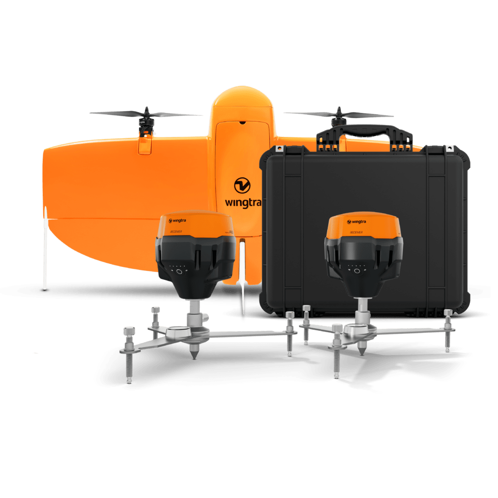
New all-in-one system integrates drone, field setup, and processing to simplify high-accuracy aerial mapping for surveyors of all experience levels.
by DRONELIFE Staff Writer Ian J. McNabb
Zurich, Switzerland-based drone developers Wingtra recently announced their new WingtraGROUND system, a new ground-control solution designed for the surveying space that combines “drone, field setup, and processing into a single, fluid toolchain—so both experts and beginners can run professional-grade aerial surveys with ease.” Combining a software package with easy-to-triangulate receivers, the combined platform promises to allow whole new markets of surveyors to effectively roll out drone technology in their own workflows.
“Drone data holds the power to boost safety and productivity across a range of vital industries,” said André Becker, Senior Product Manager at Wingtra. “Yet when you need high accuracy, you need ground truth to prove it. The current error-prone ground control setup—which requires a lot of expertise to get right—has been a big blocker to unlocking the potential of drone data use. So we’re happy to bring you WingtraGROUND, offering a unified workflow for even beginner-level surveyors to get high-accuracy drone maps.”
Powered by Emlid ground receiver technology, WingtraGROUND is a tightly integrated all-in-one solution with an easy-to-learn UI and setup process to make getting started a breeze. Wingtra claims that their system is over 4x faster to set up than competing solutions, all while avoiding the kind of constant troubleshooting and technical know-how that’s often required.
“Until now, even if you had the best drone, you still needed to know how to use a range of tools from different manufacturers,” Becker explained. “Since these components are not interconnected, workflows were really disjointed. You then risked faulty ground setup, inaccurate data and a lot of wasted time backtracking to troubleshoot. This part of the workflow was begging for ease-of-use and seamless integration, so that’s what we’re offering today.”
WingtraGROUND is fully integrated into WingtraCLOUD, Wingtra’s in-house cloud platform that allows for seamless sharing and collaboration of surveying files, making it easier than ever to conduct accurate surveys using drones.
Want DRONELIFE news delivered to your inbox every weekday? Sign up here.
Read more:
- Wingtra Unveils MAP61: The Game-Changing Mapping Payload Redefining Survey Efficiency
- Revolutionizing Drone Operations: Wingtra Unveils WingtraCLOUD Software
- Wingtra Introduces Advanced LIDAR Drone Solution for Precision Mapping
Miriam McNabb is the Editor-in-Chief of DRONELIFE and CEO of JobForDrones, a professional drone services marketplace, and a fascinated observer of the emerging drone industry and the regulatory environment for drones. Miriam has penned over 3,000 articles focused on the commercial drone space and is an international speaker and recognized figure in the industry. Miriam has a degree from the University of Chicago and over 20 years of experience in high tech sales and marketing for new technologies.
For drone industry consulting or writing, Email Miriam.
TWITTER:@spaldingbarker
Subscribe to DroneLife here.
