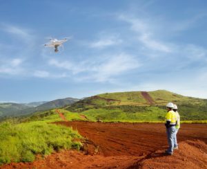
Cloud-based drone analytics provider Propeller has inked a deal with drone giant DJI in a new partnership that will marry the company’s mapping platforms with DJI’s Phantom 4 RTK drone.
The Propeller PPK Solution integrates a software and hardware system that features photogrammetric model outputs in geodetic, projected, or local coordinate systems. The PPK is accurate to 1/10 foot from independent checkpoints across a variety of survey areas, reducing the time it takes for a UAV to complete a survey.
“DJI has led the drone market with their reliable and innovative products, and quickly demonstrated the ability for these machines to become useful tools in the heavy civil and natural resource industries,” said Rory San Miguel, CEO of Propeller Aero.
“Globally, these industries are seeing real cost savings and efficiencies through cloud-based analytics and using innovative new technologies like PPK drones combined with AeroPoints. Accurate data is paramount to worksite analytics and Propeller has always been obsessed with helping teams achieve this. We introduced the world’s first smart ground control point, AeroPoints, and now we’ve partnered up with DJI to build an end-to-end PPK solution.”
Company officials say a lack of accurate data stream costs the construction industry more than $177 billion each year.
“Propeller’s deep expertise in aerial mapping and analytics coupled with DJI’s industry-leading open-platform drone hardware creates a highly accurate turnkey solution,” said Jan Gasparic, Director of Strategic Partnerships at DJI.
“We are excited about this partnership because it broadens the use of DJI drones to deliver accurate data at a cost-efficient price point, helping teams better answer questions about site progress and productivity.”
The complete PPK solution will be distributed through channel partners, including Trimble’s SITECH distribution network. Trimble Stratus, a 3D cloud-based visualization platform developed by Propeller, along with AeroPoints, is already integrated with Trimble Connected Site solutions.
“The advent of drones in the construction industry has improved efficiencies, and Trimble Stratus users are already benefiting from the ease-of-use and scalability of drone-based surveys,” said Scott Crozier, general manager, Trimble Civil Engineering and Construction.
“With the new Propeller PPK Solution and Trimble Stratus software, we’ve seen first-hand how surveyors and contractors can collect aerial survey data in a fraction of the time it used to take and get repeatable and reliable results.”
Jason is a longstanding contributor to DroneLife with an avid interest in all things tech. He focuses on anti-drone technologies and the public safety sector; police, fire, and search and rescue.
Beginning his career as a journalist in 1996, Jason has since written and edited thousands of engaging news articles, blog posts, press releases and online content.
Email Jason
TWITTER:@JasonPReagan
Subscribe to DroneLife here.


[…] Источник […]