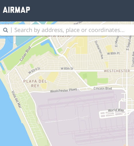
 Airports throughout the US will test a new system to help improve drone safety by being aware of drones flying nearby, the Washington Post reports. The new system, called the Digital Notice and Awareness System (D-NAS) should help drone operators to notify airports of their flight plans when flying within 5 miles of an airport, as they are required to do.
While notification is required by law, it has not been very easy to do. Air traffic control numbers are not listed on websites, and there have not been online systems of communication available. Even when operators do have the correct contact information, there is often no contact person available. Notification for both drone operators and air traffic control has been a burden.
“Especially on the eastern seaboard you’re almost always within five miles of an airport no matter where you are. The amount of airports makes notifications very improbable if not impossible,” Justin Towles, staff vice president of regulatory and legislative affairs at the American Association of Airport Executives, told the Washington Post. “This system will allow that to become much easier and streamlined.”
D-NAS will work by allowing drone operators to enter their flight length and radius into apps provided by drone manufacturers DJI, 3DRobotics, and Yuneec, or by using the AirMap website or a system provided by some of the participating airports. Flight information will then be sent to air traffic control at participating airports.
The system should make it easy for hobbyists to follow the rules when flying in areas surrounded by airports, while providing additional benefits to participating airports. Authorities at the Houston airport say that the system will allow the airport to track drone usage over time and identify common drone flight patterns.
The start-up behind the new system is AirMap, introduced last year as a way to enhance drone safety for hobbyists. In a statement published today, AirMap CEO Ben Marcus said, “everyone involved in aviation sees the promise and potential of unmanned aircraft. However, we can’t reach the potential of this amazing technology unless we ensure that safety critical information keeps pace with innovation. We are focused on building the tools for unmanned aircraft to safely integrate into the national airspace system.”
The AirMap system is free for drone operators to use.

Miriam McNabb is the Editor-in-Chief of DRONELIFE and CEO of JobForDrones, a professional drone services marketplace, and a fascinated observer of the emerging drone industry and the regulatory environment for drones. Miriam has penned over 3,000 articles focused on the commercial drone space and is an international speaker and recognized figure in the industry. Miriam has a degree from the University of Chicago and over 20 years of experience in high tech sales and marketing for new technologies.
For drone industry consulting or writing, Email Miriam.
TWITTER:@spaldingbarker
Subscribe to DroneLife here.


This sounds like a common sense process.
What the FAA really needs is to have an 800 number just for this purpose that covers all airports. The call would then be forwarded to the right group by someone that knows the “whom” to contact for that area.