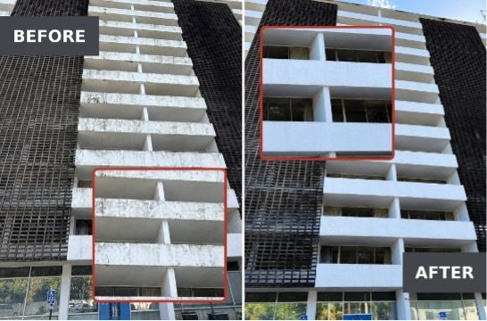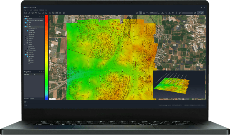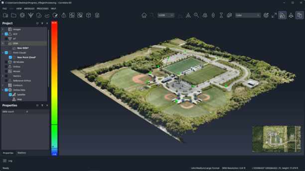

New AI tools help inspectors assess storm damage without climbing onto roofs, while expanded GIS and survey features support mapping workflows. SkyeBrowse has introduced new tools for roof inspections, damage assessment, and drone mapping. The update includes AI-assisted roof damage analysis, expanded map exports, and improved survey correction tools. The Texas-based … [Read more...] about SkyeBrowse Turns Drone Video into Roof Measurements and Damage Reports
SkyeBrowse
SkyeBrowse Adds New Timelines Tools For Drone Surveys

The release lets drone teams compare up to 10 surveys of a site over time, measure earthwork against design, check accuracy against their own ground control and plan security cameras on the 3D model. SkyeBrowse announced a new set of features on October 20, 2026 for its videogrammetry platform for rapid 3D and 2D mapping. The release centers on SkyeBrowse Timelines and a group … [Read more...] about SkyeBrowse Adds New Timelines Tools For Drone Surveys
SkyeBrowse Adds Crash Analysis Tools and Drone-Based Crowd Counts

New features bring vehicle damage measurements, collision review and estimated headcounts into the company’s mapping platform. SkyeBrowse has introduced tools for reviewing vehicle crashes and estimating crowd size from drone images. The update adds Impact, a multi-vehicle collision review tool, and brings Crowd Counter to the SkyeBrowse Flight App on the DJI RC Pro. It also … [Read more...] about SkyeBrowse Adds Crash Analysis Tools and Drone-Based Crowd Counts
SkyeBrowse Moves to Per-Model Pricing, Lowering the Barrier to 3D Drone Mapping

New Commercial, Pro and Public Safety & Enterprise plans offer different levels of processing, storage and tools based on each project. SkyeBrowse has introduced a new pricing structure designed to make 3D drone mapping more flexible for commercial users, public safety agencies and larger organizations. The company has launched three plans: Commercial, Pro, and Public … [Read more...] about SkyeBrowse Moves to Per-Model Pricing, Lowering the Barrier to 3D Drone Mapping
Can Your Drone Program Survive Success? Why Simplicity Matters at Scale
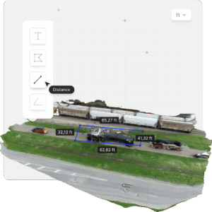
SkyeBrowse CEO Bobby Ouyang says growing drone programs face a new challenge: making sophisticated capabilities simple enough to use across an organization. For many organizations, launching a drone program is no longer the hardest part. The bigger challenge may come after the program proves its value. A police department might begin with a few trained drone pilots. A … [Read more...] about Can Your Drone Program Survive Success? Why Simplicity Matters at Scale