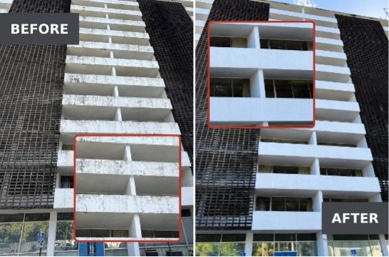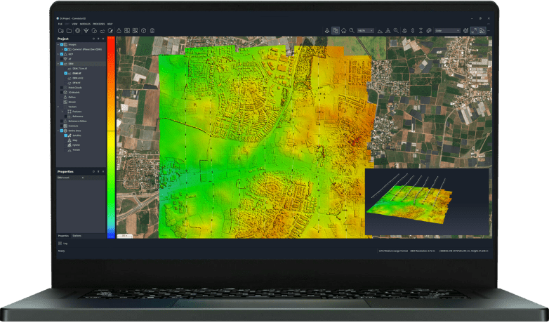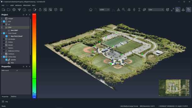
The release lets drone teams compare up to 10 surveys of a site over time, measure earthwork against design, check accuracy against their own ground control and plan security cameras on the 3D model. SkyeBrowse announced a new set of features on October 20, 2026 for its videogrammetry platform for rapid 3D and 2D mapping. The release centers on SkyeBrowse Timelines and a group … [Read more...] about SkyeBrowse Adds New Timelines Tools For Drone Surveys
- Skip to main content
- Skip to secondary menu
- Skip to primary sidebar
- Skip to secondary sidebar
- Skip to footer

DRONELIFE
Stay up to date on all the latest Drone News