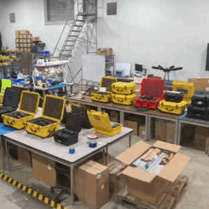
GeoCue, a leading provider of high-accuracy LiDAR mapping hardware and LP360 software, has announced a strategic distribution partnership with JGC Geoinformation System S.A. to bring TrueView LiDAR sensors and LP360 point cloud processing software to Greece, Cyprus, and Balkan countries. Drone LiDAR Mapping Technology for Regional Expansion The partnership positions JGC to … [Read more...] about GeoCue Partners with JGC Geoinformation Systems to Expand LiDAR Mapping Solutions in Greece and Balkans
point cloud processing
GeoCue Expands LP360 with Advanced Visualization Tools
New 3D Model Mesh and Gaussian Splatting Add-Ons Unveiled at INTERGEO 2025 GeoCue has introduced two new visualization features for its LP360 software platform at INTERGEO 2025. The company announced the release of the 3D Model Mesh Add-On and the Gaussian Splatting Add-On, designed to improve realism and deliverable quality for users working with the TrueView GO handheld … [Read more...] about GeoCue Expands LP360 with Advanced Visualization Tools
Global Mapper v26.1 Enhances AI-Based Tools and User Experience

New Update Introduces Deep Learning Model Fine-Tuning and Improved Point Cloud Processing Blue Marble Geographics has released Global Mapper v26.1, introducing enhancements to its geographic information system (GIS) software. This update refines point cloud processing, expands deep learning capabilities, and improves customization options for users. Global Mapper is … [Read more...] about Global Mapper v26.1 Enhances AI-Based Tools and User Experience


