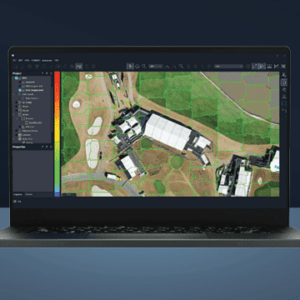
Drone-based imagery processed for agriculture, environmental assessment, and engineering SimActive Inc.'s Correlator3D™ software is being used by GMAPSNZ to produce high-quality mapping products in New Zealand. GMAPSNZ has been using the software to handle New Zealand’s complex terrain, working in agriculture, environmental assessment, and engineering design. For over a … [Read more...] about SimActive’s Correlator3D Used for Mapping in New Zealand’s Challenging Terrain
point cloud editing
SimActive Releases Correlator3D Version 10.2 With Enhanced Editing Tools
New Features Aim to Streamline Military and Commercial Mapping Operations SimActive Inc. has announced the release of Correlator3D™ Version 10.2, introducing significant upgrades designed to improve productivity and reduce editing time for both military and commercial users. The latest version of Correlator3D™ offers a comprehensive overhaul of mosaic and point cloud editing … [Read more...] about SimActive Releases Correlator3D Version 10.2 With Enhanced Editing Tools


