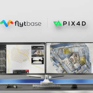
Integration Simplifies Project Management for Automated Drone Operations FlytBase, a drone autonomy software platform, has announced a strategic partnership with Pix4D, a leading photogrammetry platform for terrestrial and drone mapping. This collaboration aims to streamline drone data processing workflows by allowing FlytBase users to seamlessly upload their drone-captured … [Read more...] about FlytBase and Pix4D Partner to Streamline Drone Data Processing Workflows
Pix4D
ANAFI Ai Available in January: First 4G-Connected UAV
Parrot says consumers can expect the ANAFI Ai available in January by DRONELIFE Staff Writer Ian M. Crosby Leading European drone company Parrot has announced that the release of its ANAFI Ai model drone is on the horizon. The new drone will start shipping this coming January, with prices from $4,000 (excluding taxes), available from Parrot’s leading resellers. The … [Read more...] about ANAFI Ai Available in January: First 4G-Connected UAV
viDoc Rover and Pix4Dcatch: viDoc RTK Now Available in US and Canada for RTK Accuracy on an iPhone or iPad
viDoc RTK by Pix4D Launches in USA and Canada by DRONELIFE Staff Writer Ian M. Crosby Photogrammetry solutions leader Pix4D has just released the viDoc RTK rover in the USA and Canada. Previously released in Europe, the German-designed rover connects to the latest iOS devices in order to bring RTK accuracy to terrestrial scanning on iPhones and iPads. The viDoc rover … [Read more...] about viDoc Rover and Pix4Dcatch: viDoc RTK Now Available in US and Canada for RTK Accuracy on an iPhone or iPad
Pix4D User Conference: 24-Hour Virtual Showcase of Expert Speakers and Product Updates
The Pix4D User Conference, a 24-hour virtual event, takes place next week October 6: with expert speakers, product updates, and have the opportunity to get any questions answered by the Pix4D community of users and team of developers. Pix4D has had a big year, introducing new products in terrestrial data capture, expanding their global presence, and growing their market … [Read more...] about Pix4D User Conference: 24-Hour Virtual Showcase of Expert Speakers and Product Updates
Experts Tested 4 Different Drone Mapping Solutions for Crime Scene Investigation. Here’s What Happened.
At Commercial UAV Expo in Las Vegas, more than 300 drone industry professionals watched as experts tested four different drone mapping solutions for crime scene investigation at night. Guest post by Douglas Spotted Eagle, Founder and Director of Educational Programming at Sundance Media Group. DRONELIFE neither accepts nor makes payment for guest posts. Commercial UAV … [Read more...] about Experts Tested 4 Different Drone Mapping Solutions for Crime Scene Investigation. Here’s What Happened.


