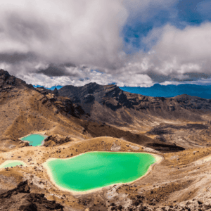
Drone-based imagery processed for agriculture, environmental assessment, and engineering SimActive Inc.'s Correlator3D™ software is being used by GMAPSNZ to produce high-quality mapping products in New Zealand. GMAPSNZ has been using the software to handle New Zealand’s complex terrain, working in agriculture, environmental assessment, and engineering design. For over a … [Read more...] about SimActive’s Correlator3D Used for Mapping in New Zealand’s Challenging Terrain
- Skip to main content
- Skip to secondary menu
- Skip to primary sidebar
- Skip to secondary sidebar
- Skip to footer


