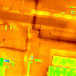
Icaros Inc., a provider of aerial imaging software, has announced that its drone image processing software can now process Thermal IR images from Radiometric microbolometer sensors. Icaros’ OneButton family for drone image processing lets end users generate geospatially precise, fully orthorectified 2D maps and 3D models from frame-based aerial imaging systems. The OneButton … [Read more...] about Icaros and TeAx Deliver Drone Mapping Solution for Radiometric ThermalCapture Sensors
- Skip to main content
- Skip to secondary menu
- Skip to primary sidebar
- Skip to secondary sidebar
- Skip to footer


