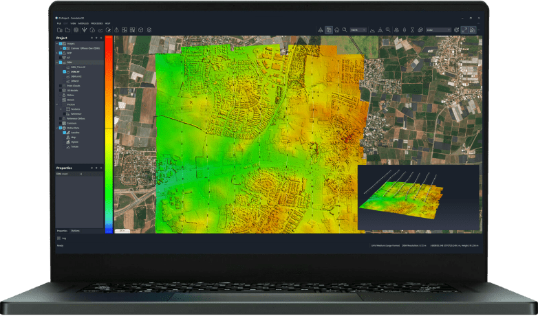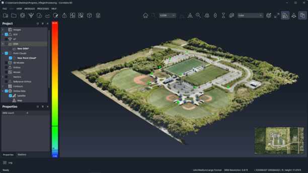
New Global Mapper subscription brings geospatial tools together as Blue Marble builds deeper connections between drone data, desktop analysis and field operations For drone mapping professionals, collecting data is only one part of the job. Drone imagery and lidar must be processed, positioned, analyzed and turned into information people can use. In many cases, that … [Read more...] about Blue Marble Moves Toward an End-to-End Geospatial Workflow
geospatial workflow
Blue Marble Geographics and Avenza Systems Combine to Create Unified Geospatial Platform

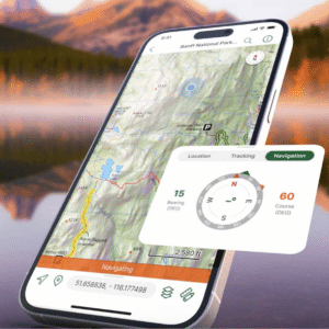
Merger connects office-based analysis with field operations for end-to-end spatial workflows Blue Marble Geographics and Avenza Systems, Inc. have announced a combined organization that will operate under the Blue Marble Geographics name. The move brings together complementary geospatial technologies designed to connect office-based spatial analysis with field data collection … [Read more...] about Blue Marble Geographics and Avenza Systems Combine to Create Unified Geospatial Platform