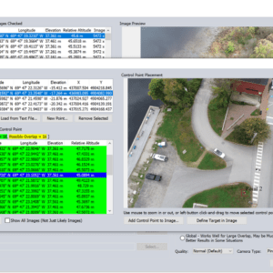
Unlocking the Power of Pixels: Efficient 3D Data Creation with Global Mapper Pro’s Pixels to Points Tool Sponsored Content. The all-in-one geospatial software, Global Mapper Pro®, really does it all! From raster data viewing and editing to vector feature creation, Global Mapper Pro goes further to include tools for point cloud analysis and classification. The Pixels to … [Read more...] about Creating 3D Data with Pixels to Points in Global Mapper Pro
- Skip to main content
- Skip to secondary menu
- Skip to primary sidebar
- Skip to secondary sidebar
- Skip to footer


