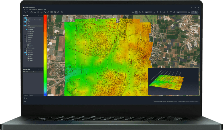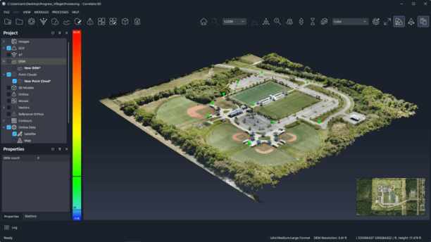

The release lets drone teams compare up to 10 surveys of a site over time, measure earthwork against design, check accuracy against their own ground control and plan security cameras on the 3D model. SkyeBrowse announced a new set of features on October 20, 2026 for its videogrammetry platform for rapid 3D and 2D mapping. The release centers on SkyeBrowse Timelines and a group … [Read more...] about SkyeBrowse Adds New Timelines Tools For Drone Surveys
3D drone mapping
SkyeBrowse Moves to Per-Model Pricing, Lowering the Barrier to 3D Drone Mapping

New Commercial, Pro and Public Safety & Enterprise plans offer different levels of processing, storage and tools based on each project. SkyeBrowse has introduced a new pricing structure designed to make 3D drone mapping more flexible for commercial users, public safety agencies and larger organizations. The company has launched three plans: Commercial, Pro, and Public … [Read more...] about SkyeBrowse Moves to Per-Model Pricing, Lowering the Barrier to 3D Drone Mapping
3D Drone Mapping Data Capture: WingtraOne GEN II’s Oblique Camera Configuration

Swiss drone manufacturer Wingtra has announced their next generation offering, the WingtraOne GEN II—a VTOL drone with an oblique payload and advanced reliability algorithms for the ultimate 3D drone mapping data capture. "GEN II reflects 100,000 flights worth of intelligence taken on by a dedicated team of engineers who translated it into leading-edge reliability, safety … [Read more...] about 3D Drone Mapping Data Capture: WingtraOne GEN II’s Oblique Camera Configuration