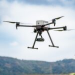
Building Resilience and Innovation in the American Drone Industry Located in San Luis Obispo, CA, Inspired Flight is a leading U.S. manufacturer of industrial drones. Inspired Flight excels at integrating multiple payloads and sensors and features a universal payload interface. It’s flexible platform is used in settings including critical infrastructure … [Read more...] about What Will It Take to Strengthen U.S. Drone Manufacturing? A Conversation with Inspired Flight’s CEO
Sponsored Content
Collection Ground Control Points with Global Mapper Mobile
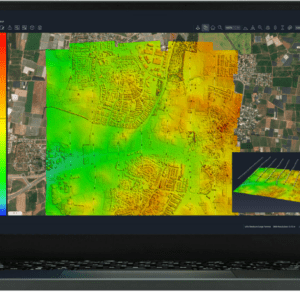
Effortless Field Data Collection with Global Mapper Mobile Global Mapper Mobile brings data collection into the palm of your hand, making it easy to record ground control points and other key features on site when collecting drone-images for processing in Global Mapper desktop’s Pixels to Points tool. Available on iOS and Android mobile operating systems, Global Mapper Mobile … [Read more...] about Collection Ground Control Points with Global Mapper Mobile
How SimActive’s Correlator3D™ is Revolutionizing Military Mapping: An Exclusive Interview with CEO Philippe Simard
As drone technology continues to transform the battlefield, the demand for fast, flexible, and user-friendly mapping solutions has never been higher. One company at the forefront of this transformation is SimActive, a leader in geospatial data processing for both military and commercial operations. In an exclusive interview with DRONELIFE, SimActive’s Co-founder and CEO … [Read more...] about How SimActive’s Correlator3D™ is Revolutionizing Military Mapping: An Exclusive Interview with CEO Philippe Simard
SimActive Photogrammetry Software: Enabling Users to Meet Accuracy Standards for Over 20 Years
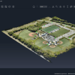
Mastering Precision: Navigating the Evolving Landscape of Photogrammetry with SimActive SimActive, a Montreal-based photogrammetry software company with over 20 years serving the mapping community. From satellites to aircraft and drones, one software for all acquisition platforms, designed to support all sizes of professional photogrammetry providers. Accuracy standards are … [Read more...] about SimActive Photogrammetry Software: Enabling Users to Meet Accuracy Standards for Over 20 Years
Smart Tether for Parrot ANAFI USA from NACT Engineering
Revolutionizing Aerial Surveillance: NACT Engineering's Smart Tether Unleashes the Full Potential of Parrot ANAFI USA Drones Uninterrupted Flight, Extended Reach, and 24/7 Surveillance Capabilities – The Power of Smart Tether Technology for Border Security and Beyond. Singapore’s NACT Engineering is changing the game for tethered drone systems. NACT Engineering’s patented … [Read more...] about Smart Tether for Parrot ANAFI USA from NACT Engineering

