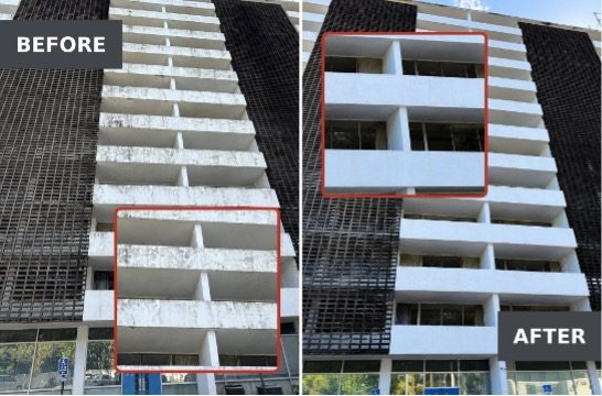

The integration syncs Pilot Institute certificates and their associated skills into AirData, alongside the flight records that pilots and fleet managers already keep there. AirData UAV and Pilot Institute have announced an integration that automatically syncs pilot training records and skills into AirData. With the link in place, pilots can keep their qualifications in the … [Read more...] about AirData and Pilot Institute Integration Automates Drone Pilot Training Records
News
Can Commercial Drones Survive Electronic Warfare? U.S. Army Expands Testing Opportunities

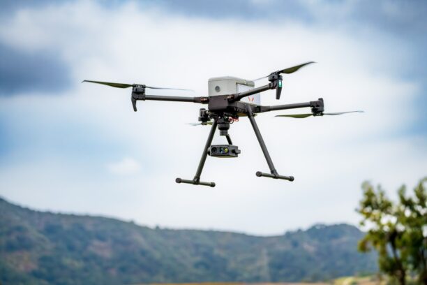
New Army testing events give drone manufacturers access to realistic GPS jamming and communications interference, with three sessions scheduled for 2027. The U.S. Army is expanding opportunities for commercial drone companies to test their technology under realistic electronic warfare conditions. The program allows developers to evaluate how their systems perform when GPS … [Read more...] about Can Commercial Drones Survive Electronic Warfare? U.S. Army Expands Testing Opportunities
Satellite Connectivity for Drones Moves Closer to Commercial Scale

New agreement advances the commercial infrastructure needed to deliver and manage satellite communications for drones and advanced air mobility Galaxy 1 Communications and Viasat have announced a new agreement to expand commercial support for Viasat’s Velaris satellite communications platform. The agreement follows two years of joint development, integration, and testing. The … [Read more...] about Satellite Connectivity for Drones Moves Closer to Commercial Scale
ETH Zurich Develops Flexible Drone That Can Survive Collisions

New FlexiQuad design could improve drone operations in confined spaces, search and rescue missions, and challenging environments. Researchers at ETH Zurich have developed a flexible drone that can collide with obstacles and continue flying. The design could help drones operate in environments where avoiding every obstacle is difficult or impossible. The drone, called … [Read more...] about ETH Zurich Develops Flexible Drone That Can Survive Collisions
SimActive and Phase One Streamline Large-Scale Defense Mapping

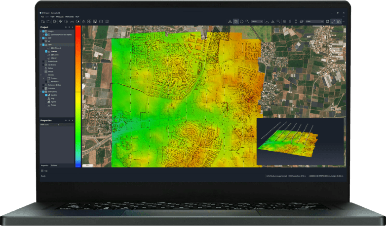
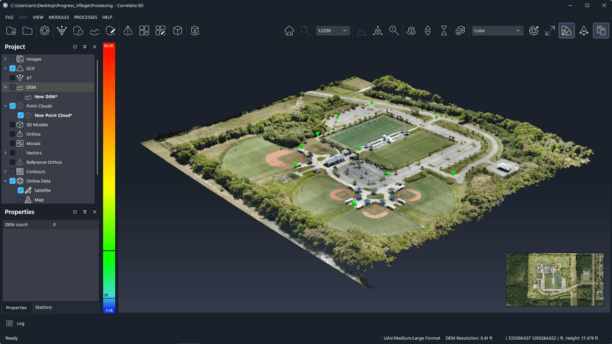
Integration helps defense organizations process thousands of high-resolution aerial images faster, reducing manual work and speeding up map production. SimActive has announced an integrated workflow with Phase One aerial imaging systems to speed up large-scale mapping for defense applications. The solution combines Phase One's high-resolution imagery with SimActive's … [Read more...] about SimActive and Phase One Streamline Large-Scale Defense Mapping