The following is a guest post by Yasuo Baba, Director, Digital Imaging and European Product Marketing, Sony Digital Imaging Europe. DRONELIFE neither accepts nor receives payment for guest posts.
Protecting natural areas with drones and high-resolution lenses
Continue reading below or listen:
Wildlife, natural spaces, and rainforests are integral to our planet. They are not simply beautiful spaces; behind the scenes, an ecosystem is busy absorbing carbon dioxide, releasing oxygen, and providing water, shelter and food. Crucially, the nature on earth is a vital element in fighting climate change and keeping the planet healthy.
Despite its inextricable link with the planet’s health, biodiversity across the globe is under threat. Species are rapidly declining, with the WWF reporting at least 10,000 becoming extinct every year. Added to this, deforestation continues to rage across our earth, and in 2019 alone, we lost 12.2 million hectares of tropical forest, according to the World Resources Institute.
Wildlife needs safeguarding, and with the technology we have today, methods of protection that were unimaginable just a few decades ago are now possible.
An aerial view
Rainforests are vast by nature: the Amazon Rainforest is home to 10% of all wildlife species. In the past, the sheer size of rainforests has posed difficulties for conservation teams – even with the introduction of manned aircraft, mapping the health of rainforests to ground-level precision couldn’t be done.
However, technological advancements now mean teams can monitor spaces remotely, with ease. Unmanned aerial vehicles (UAVs) offer a cost-effective solution to mapping extensive rainforest areas with a high level of accuracy while using significantly fewer emissions than a manned aircraft, further protecting the environment.
Key to the success of the UAV is its camera and lens selection. A wide-angle lens will capture as large an area as possible and to guarantee the drone can fly as high as it needs, the lens must also be lightweight and compact. Add to the mix an Extra-low Dispersion (ED) and Super ED glass you will ensure excellent colour quality, contrast and resolution.
With the right lens and camera onboard, the UAV captures images to a centimetre-level ground resolution, making mapping dense forest light work. And once all the images are collected, researchers can view accurate, geo-referenced data that is regularly kept up-to-date.
Harnessing data with LiDAR and Multispectral
In addition to high-resolution lenses, UAVs equipped with LiDAR and multispectral cameras are also transforming how conservation teams protect wildlife. LiDAR, a technology that emits pulses of laser light, enables the drone to generate an accurate 3D image of the environment, allowing you to measure the height and biomass of trees and other plant life. Then data collected from the multispectral camera helps scientists to identify species.

Rather than trekking into a rainforest, to isolated and sometimes dangerous locations, conservationists can answer crucial questions on biodiversity, all from the images captured by drones. Suppose something is growing at a slower rate than it should, or an invasive species is present, threatening the life of other plants. With up-to-date data available, organisations can identify it remotely and act on the info immediately. This way, potential problems are captured as quickly as possible and resolved before posing a threat to the area’s biodiversity.
Protecting tropical rainforests
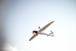
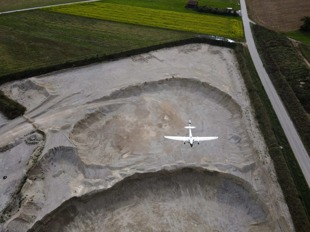
Quantum-Systems’ work with Wilderness International showcases precisely how important this technology is in protecting wildlife. Tasked with mapping tropical rainforests in Peru, Quantum Systems used its Trinity F90+ drone carrying either the RX1 or UMC, Sony RGB camera.
Offering up to 42MP and achieving 5304 x 7952 pixels with a full-frame image sensor, the cameras, used alongside a 35mm lens, can capture 102m by 68m areas with centimetre ground resolution in just one image. The pictures are taken with an 80% overlap, and then post-flight photogrammetry creates a georeferenced ‘map’ of the protected site.
The image quality and skill of the drones allow Wilderness International to monitor five million square meters of endangered rainforest. So, without being present in every location at all times, through ground-resolution mapping, the team can still detect changes in the environment as though they were on site.
Wilderness International also uses the images captured to track which area is protected by which donation, creating a personable experience in which donors can see the real impact of the project.
With flights scheduled every two to three years, organisations can use comparative images to observe changes, such as areas of illegal deforestation and natural occurrences like the migration of a river. By sharing the data with local scientists and charities, the health of plants and wildlife can be further analysed by the correct expert – ultimately, safeguarding not just the protected area but also the future health of our planet.
Read more about drones for conservation and wildlife protection:
- From Drone Light Shows to Environmental Conservation: UgCS Drone Fleet Software Helps Scientists Count Penguin Chicks
- Drones, Thermal Images and Koala Conservation
- Drones for Environmental Protection: Oceans Unmanned and The Ocean Cleanup Join Forces
- Drones for the Environment: Battling Trash in San Francisco Estuaries
- World Oceans Day: Developing Drone Technology to Protect Marine Wildlife
In 2018, Baba-San was appointed as Director of Marketing at Sony Digital Imaging Business Solutions. His aim is to grow the business and increase market share by focusing on professional photography and to establish Sony as the photographic brand of choice among professionals.
Miriam McNabb is the Editor-in-Chief of DRONELIFE and CEO of JobForDrones, a professional drone services marketplace, and a fascinated observer of the emerging drone industry and the regulatory environment for drones. Miriam has penned over 3,000 articles focused on the commercial drone space and is an international speaker and recognized figure in the industry. Miriam has a degree from the University of Chicago and over 20 years of experience in high tech sales and marketing for new technologies.
For drone industry consulting or writing, Email Miriam.
TWITTER:@spaldingbarker
Subscribe to DroneLife here.