Queensland is twice the size of Texas, with a population of more than 5,000,000 people. Drones are used across the police service in a wide variety of applications. The Forensic Crash Unit is the unit that is first on the scene of traffic accidents – and the unit that must thoroughly document any accident before the roads can be cleared.
“Everyone can relate to being stuck at a road closure…it’s frustrating,” said Cutler. “But from our thinking, if a person was lying there with gunshot wounds, there would be a team of detectives there… With a fatal road crash, you’re going to get one crash investigator, who has to capture all that same information. That investigator has to be able to relay that victim’s end of life story to their next of kin, to the courts, to the tribunal. That takes time.”
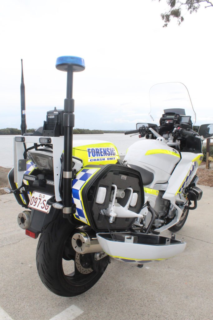
“This particular product came about from 2 projects,” said Cutler. “The first was putting a fully qualified crash reconstructionist on a motorcycle so they could get to the scene quicker through traffic: get to the scene and mark, photograph, and move; so that the scene could be cleared but evidence was captured,” Cutler explained. “At the same time, we started developing our Remotely Piloted Aircraft (RPA) program.”
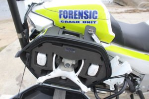
The Queensland Forensic Unit program uses DJI drones and Pix4D’s drone mapping platform. “When DJI released the Phantom 4 RTK in 2018, we found that our measurements on the ground were coming in bang on to the processed data from Pix4D… as the brochure says, we were getting centimeter accurate data from that product. That’s when we joined those two projects together, the drone and the motorbike.”
The combination has been a stunning success, offering time savings of up to 80% in processing crash sites. With figures like that, Queensland may not be the only team adopting the custom motorcycle and drone solution for very long.
“I’m very proud of it… we’re claiming this as a world first,” said Cutler.
Miriam McNabb is the Editor-in-Chief of DRONELIFE and CEO of JobForDrones, a professional drone services marketplace, and a fascinated observer of the emerging drone industry and the regulatory environment for drones. Miriam has penned over 3,000 articles focused on the commercial drone space and is an international speaker and recognized figure in the industry. Miriam has a degree from the University of Chicago and over 20 years of experience in high tech sales and marketing for new technologies.
For drone industry consulting or writing, Email Miriam.
TWITTER:@spaldingbarker
Subscribe to DroneLife here.
