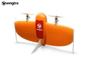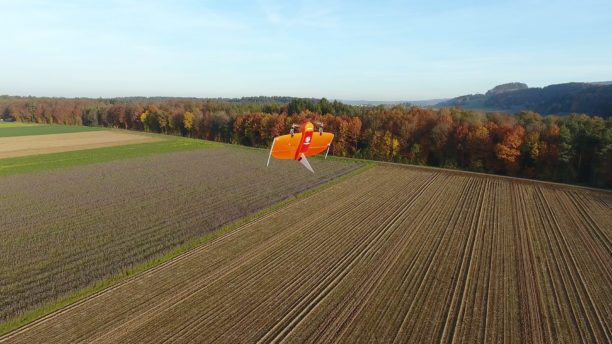
Wingtra’s product offering, the WingtraOne, has received major buzz as a significant new player in commercial drones. Its unique VTOL (vertical takeoff and landing) design offers a number of features important to enterprise customers. The drone is portable, lightweight, and provides flight endurance of up to 55 minutes. It’s autonomous, wind-stable, and configurable with a variety of professional payloads.
“Since its market entry earlier this year, Wingtra has caught the eye of professional drone users for bridging the gap between traditional multi-rotors and fixed-wings,” says the company. “The WingtraOne drone takes-off and lands vertically like conventional multirotors, but once in flight, the drone tilts forward to fly like a fixed-wing aircraft. Being able to carry a heavy payload such as the Sony RX1RII, the drone offers high mapping accuracy, while covering an area of 980 acres (400 Ha) at 3cm/px (1.2in/px) GSD or the equivalent of 570 football fields.”
With the Pix4D partnership, making Pix4D’s entire software suite available to WingtraOne users, Wingtra offers a full end-to-end commercial solution. “With WingtraOne’s autonomous aerial data collection and Pix4D’s advanced data analysis capabilities offered as a single bundle, professional users can now expect an effortless plug and play solution,” says a company announcement.

It’s a move that makes sense for both companies – and for commercial drone users. Wingtra’s features make the drone an ideal solution for geospatial, surveying, and agriculture applications; areas in which Pix4D has an established expertise and market share. With the new combined offering, Wingtra may be poised to move quickly into a leading position in the commercial market.
Miriam McNabb is the Editor-in-Chief of DRONELIFE and CEO of JobForDrones, a professional drone services marketplace, and a fascinated observer of the emerging drone industry and the regulatory environment for drones. Miriam has penned over 3,000 articles focused on the commercial drone space and is an international speaker and recognized figure in the industry. Miriam has a degree from the University of Chicago and over 20 years of experience in high tech sales and marketing for new technologies.
For drone industry consulting or writing, Email Miriam.
TWITTER:@spaldingbarker
Subscribe to DroneLife here.
