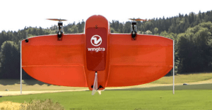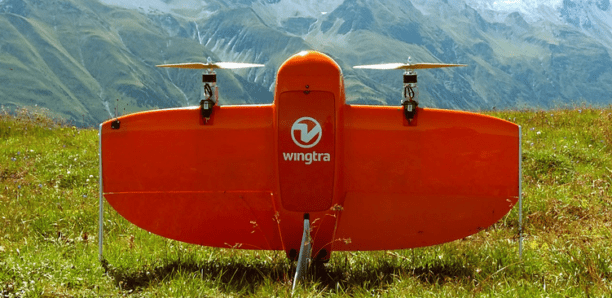
Swiss engineering firm Cavigelli Ingeniuere AG has been tasked with mapping Lumnezia, a Swiss Alpine valley, for the planning of a wind farm. The 20 wind turbines are to be built in an area inaccessible by roads, and previously unmapped.
Hiking in an hour to the site, engineers used the WingtraOne to handle mapping the large area constrained by “hilly terrain, high altitude, and quickly changing weather conditions in the mountains,” says Adyasha Dash, a software engineer at Wingtra and author of the xyHt article.
“…This VTOL drone [the WingtraOne] takes off and lands vertically like a multirotor but tilts forward in flight to fly like a fixed-wing aircraft. Combining this with the capability to carry heavy sensors means that it can cover areas equivalent to 570 soccer fields in a single flight of 55 minutes.”
The team used photogrammetry software from Pix4D to create a 3D model of the construction site, allowing visualization of planned roads and wind turbines. “The entire data collection workflow itself took a mere four hours—a process that could easily take days with traditional surveying methods,” says Dash.
“The transport, the flight preparation, the flight planning, the takeoff process, and the data transfer were very easy and convincing,” says Thomas Arpagaus, an engineer at Cavigelli. ‘The aerial survey has shown that it takes only a very short introduction/training for a successful completion of a project. “Thanks to the use of a drone, we were able to greatly reduce the costs for the surveying and evaluation of the original site for the design work. The tight project planning could be kept due to the fast and flexible data acquisition.”
“After the Lumnezia project is finished, there will be 20 wind turbines in the field producing 60 GWh of power and providing energy to 15,000 households,” says Dash.
Miriam McNabb is the Editor-in-Chief of DRONELIFE and CEO of JobForDrones, a professional drone services marketplace, and a fascinated observer of the emerging drone industry and the regulatory environment for drones. Miriam has penned over 3,000 articles focused on the commercial drone space and is an international speaker and recognized figure in the industry. Miriam has a degree from the University of Chicago and over 20 years of experience in high tech sales and marketing for new technologies.
For drone industry consulting or writing, Email Miriam.
TWITTER:@spaldingbarker
Subscribe to DroneLife here.
